

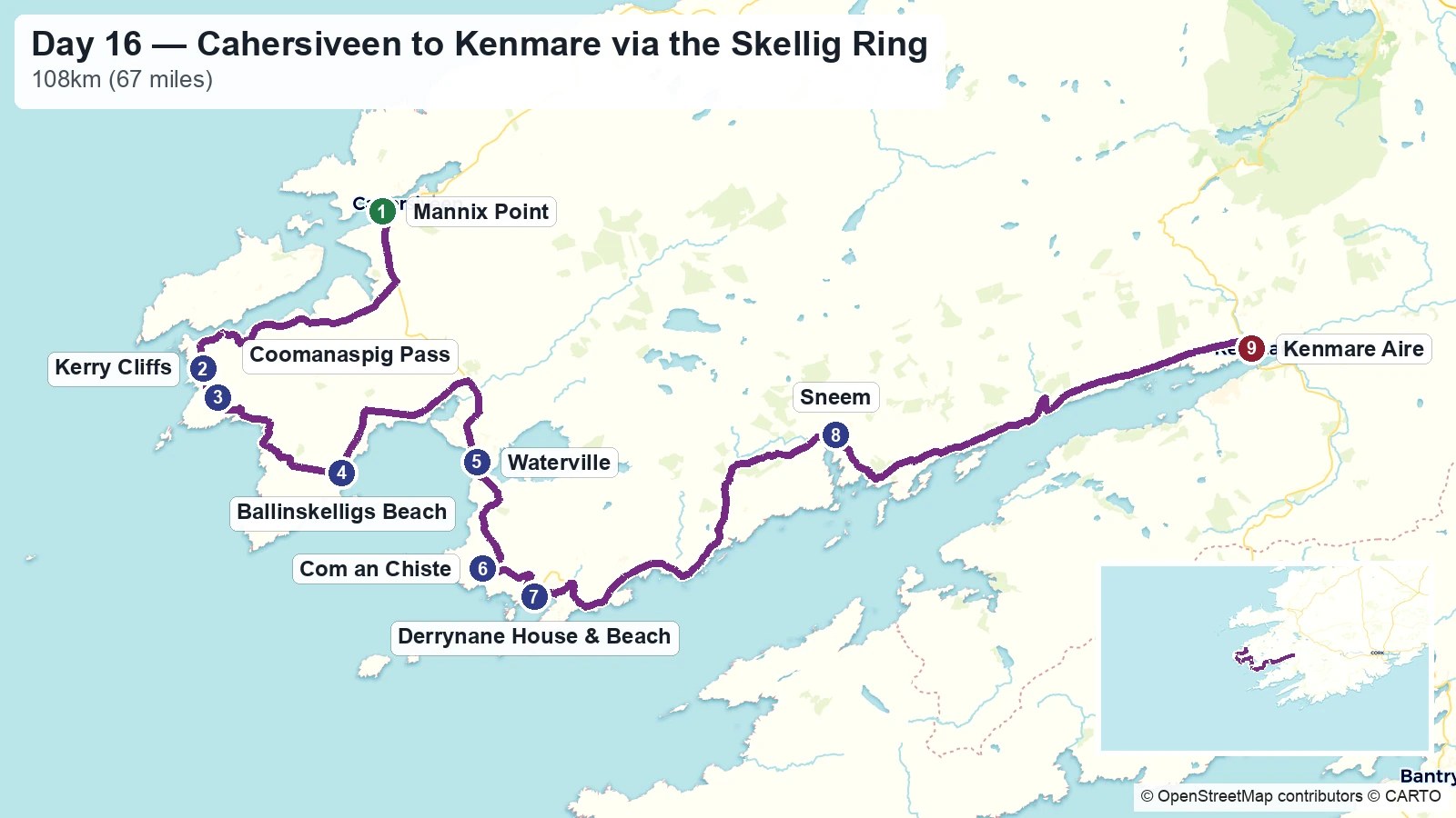
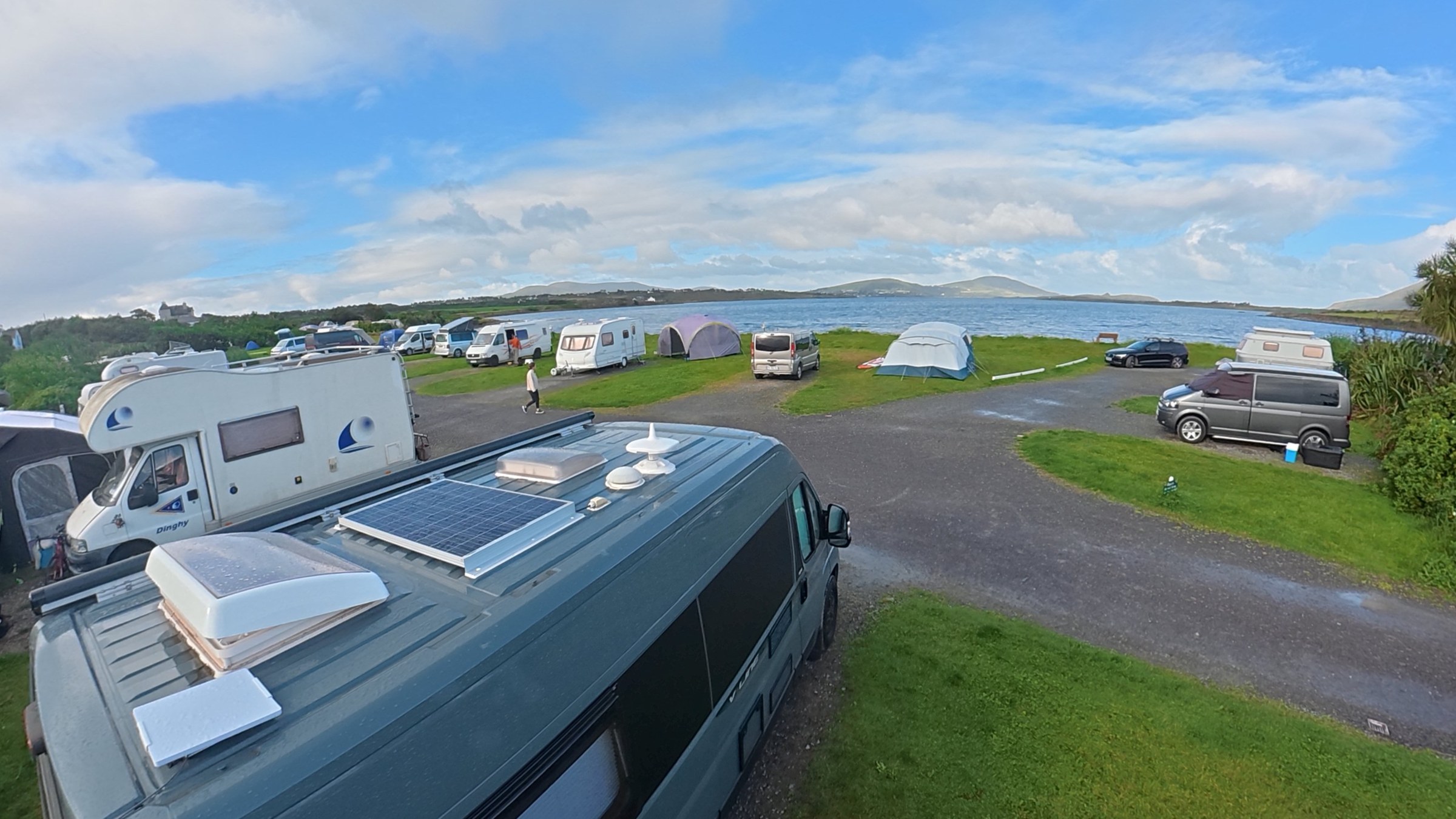
Today was meant to be a boat trip to the Skelligs from Portmagee. We’d checked the weather when we booked and it looked like it was not going to be great, and a) this was the only day we could make it and b) it was the first day with availability. We were going to do the boat trip and then head out. We’d even planned to park the van in the car park of the Skellig Experience (the car park seemed to be quiet at this time of year, and in this weather) and then ride our bikes over the bridge to Portmagee to get the boat.
But, Sue got a cancellation email last night and so plans had to change. They offered to switch us to a different day (which we couldn’t really do – they’re booking days way in advance and we didn’t want to hang around the area for a few days just to do the boat trip) so they refunded the full amount.
So the new plan is to do the southern part of the Ring of Kerry (RoK) and to stay back at Martin’s Aire in Kenmare (we originally booked a campsite near Sneem but decided that wasn’t enough of a journey today and so pushed the stop to Kenmare so we filled the day – this was probably a mistake and we could have broken this southern leg into two).
The Kerry Cliffs
These cliffs had a lot of living up to do. The guide books rave about these cliffs. And as I mentioned a couple of days ago, the actual RoK peninsula northern section hadn’t really flipped our switches, so this had better be good!
As you leave Portmagee you have two RoK options. The coach tours have to do the main RoK, but being a smaller van we’re able to do the Skellig Ring. This takes you on the real coast road and gets you to the Kerry Cliffs, which are just a few km from Portmagee.
As you approach the cliffs you’re left in no doubt how they want you to think about your visit (at every opportunity). We also loved the second sign below the brown sign — “A Stunning Point of View”.
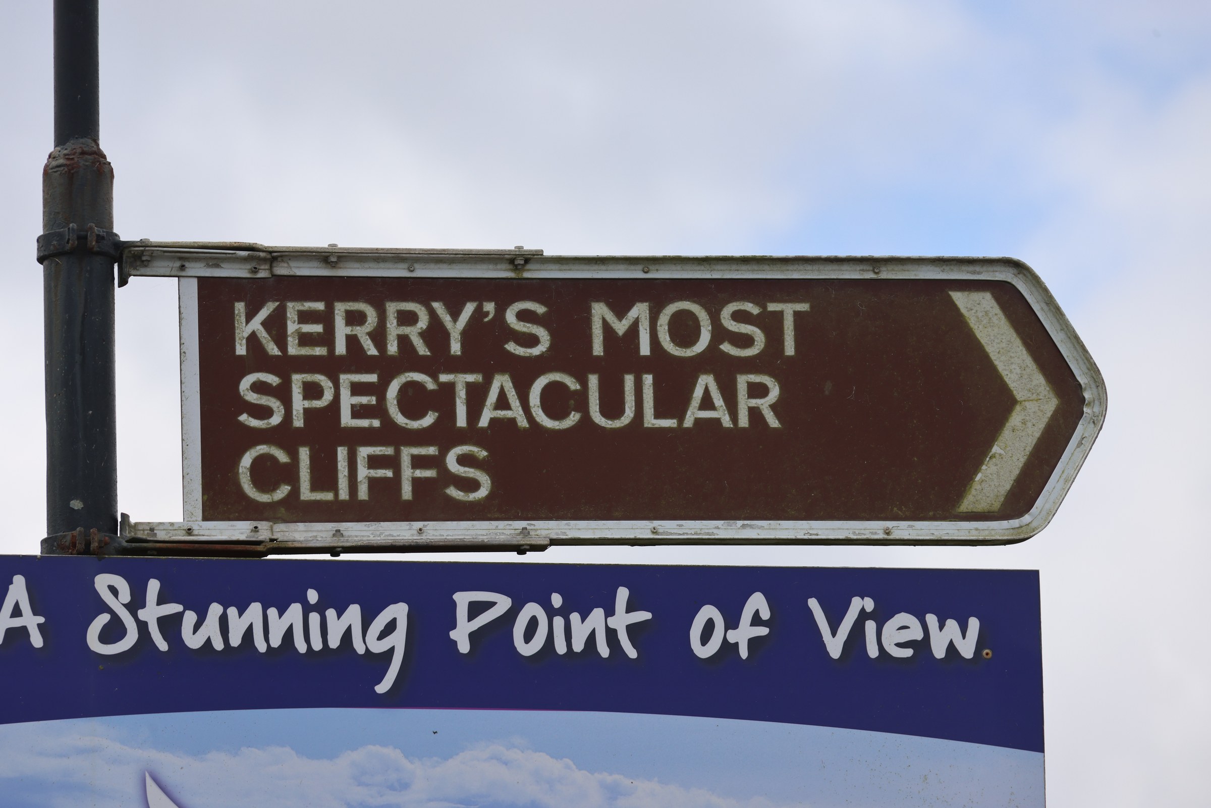
The cliffs (or at least the car park) are on private land. It looks like you can park for free (though you have to pay €20 for overnight camping) but admission to the cliffs is €5pp.
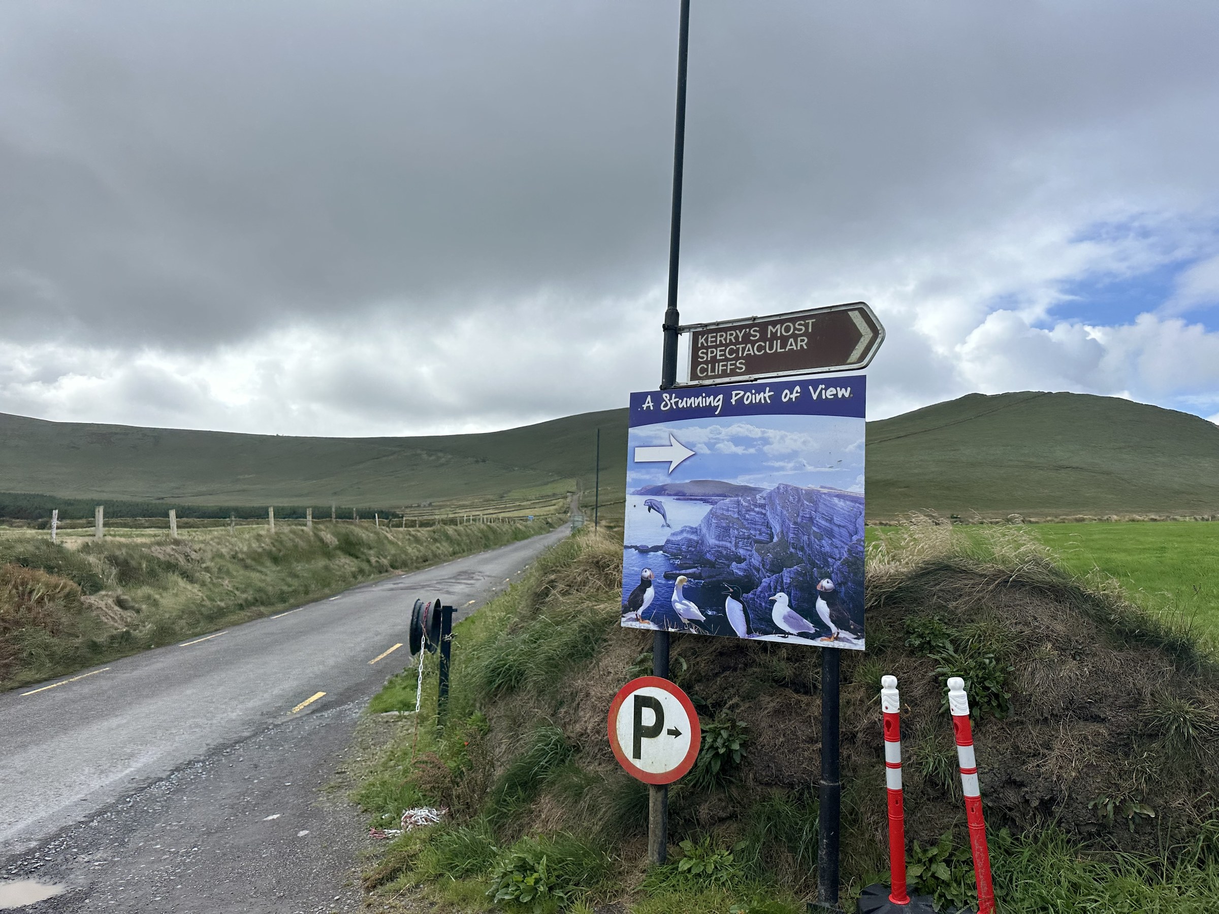
At least the car park had lots of room and didn’t make us feel forgotten in a van.
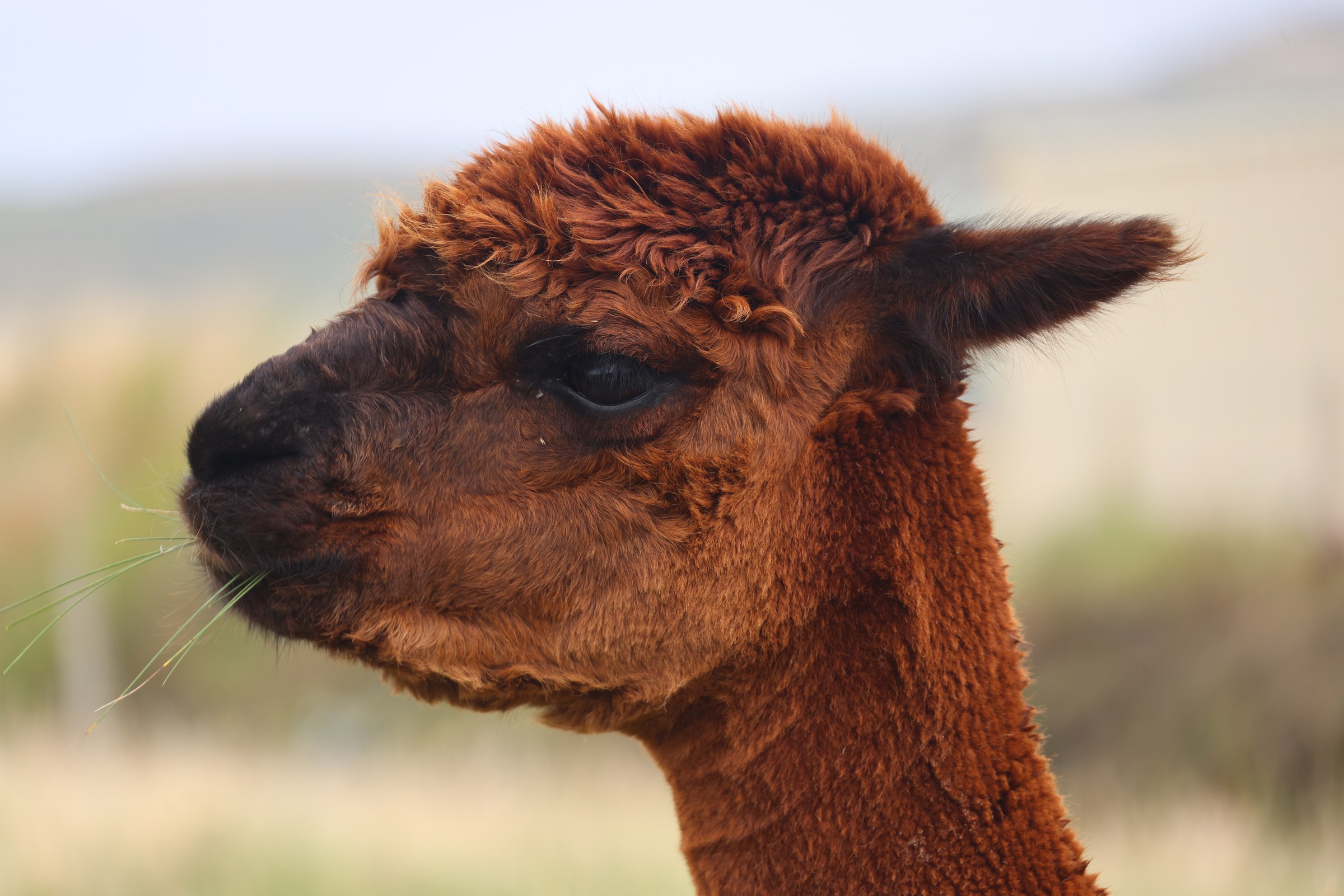
And as if some 400-million-year-old rocks aren’t enough… they need animals to make you want to come… alpacas and donkeys… really!
Then once you’ve paid your admission you have a couple of hundred metres up a gravel track to the cliff edge.
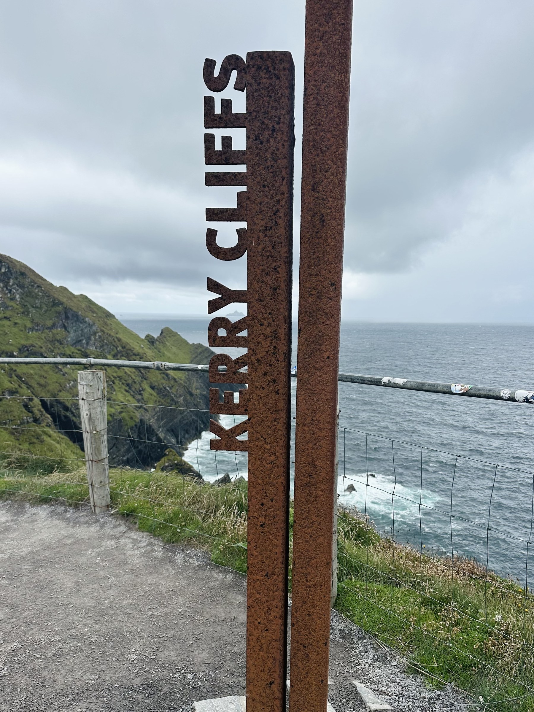
And OMG… these are cliffs. Stunning!
And it was windy. The pictures don’t do justice to a) how impressive the cliffs are:
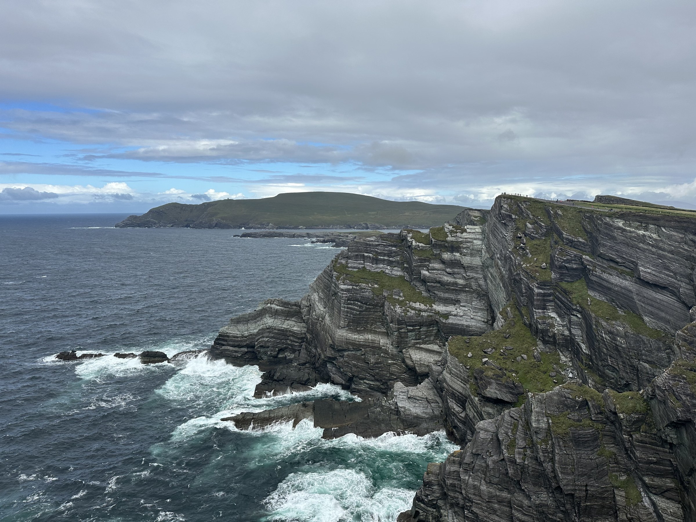
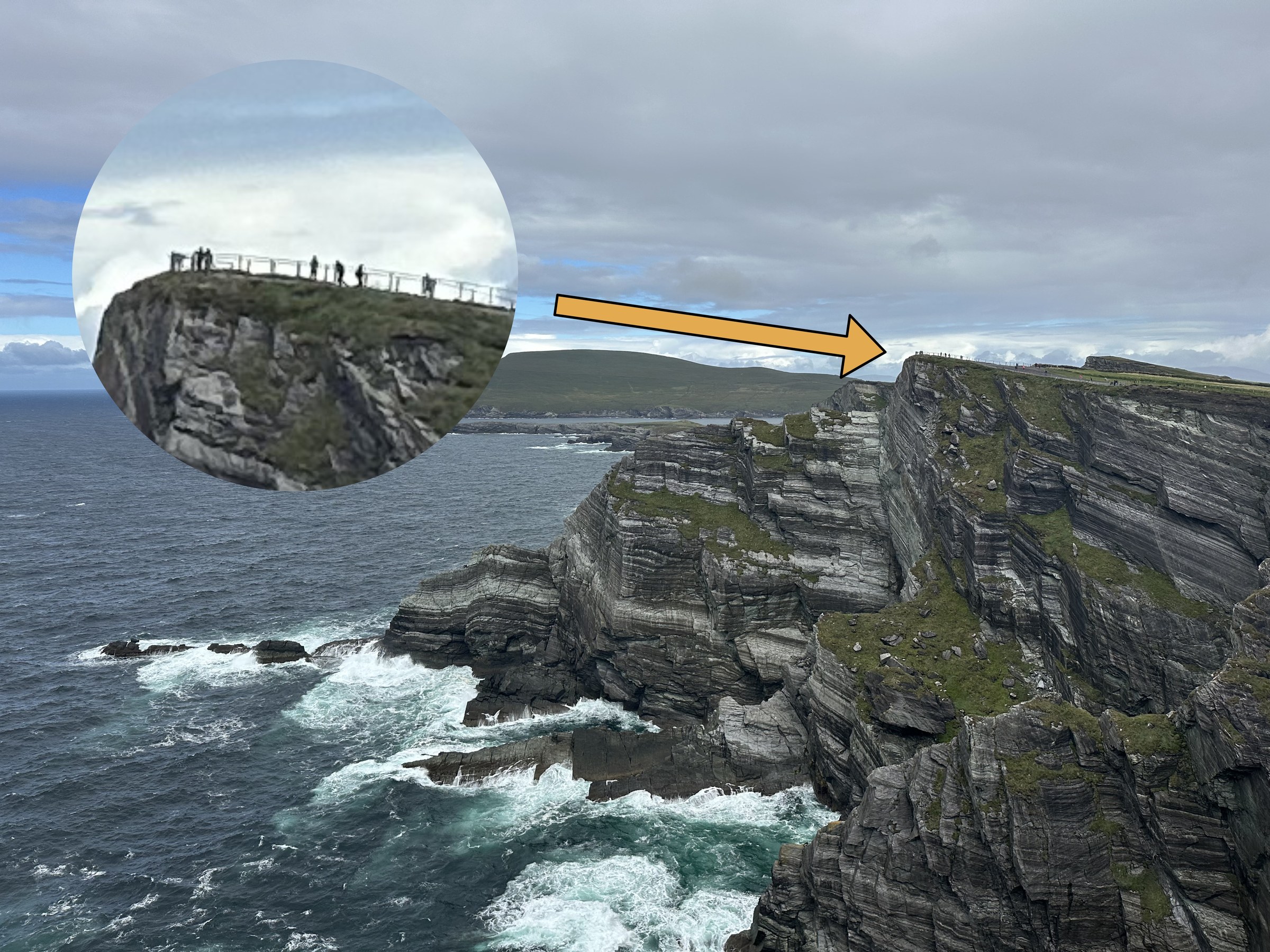
The cliffs are over 300m tall. And in that last picture there are people standing on the top of the cliff that you almost certainly won’t be able to see. So here’s a close-up…
b) how steep the walkways are to get you from clifftop to clifftop:
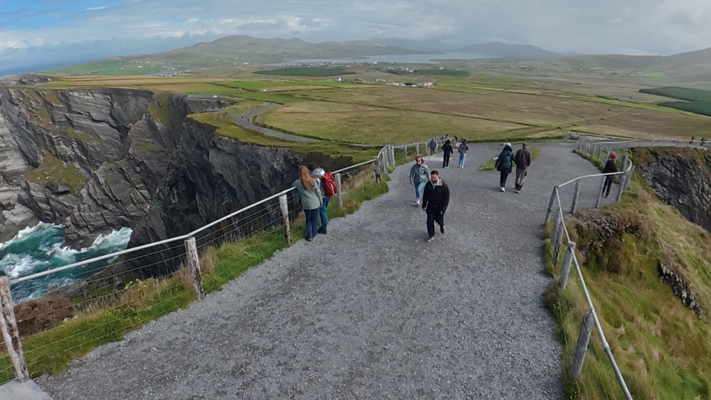
They’re a good 1 in 3 – phew!
c) how windy it was (we’re really leaning into the wind to make progress):
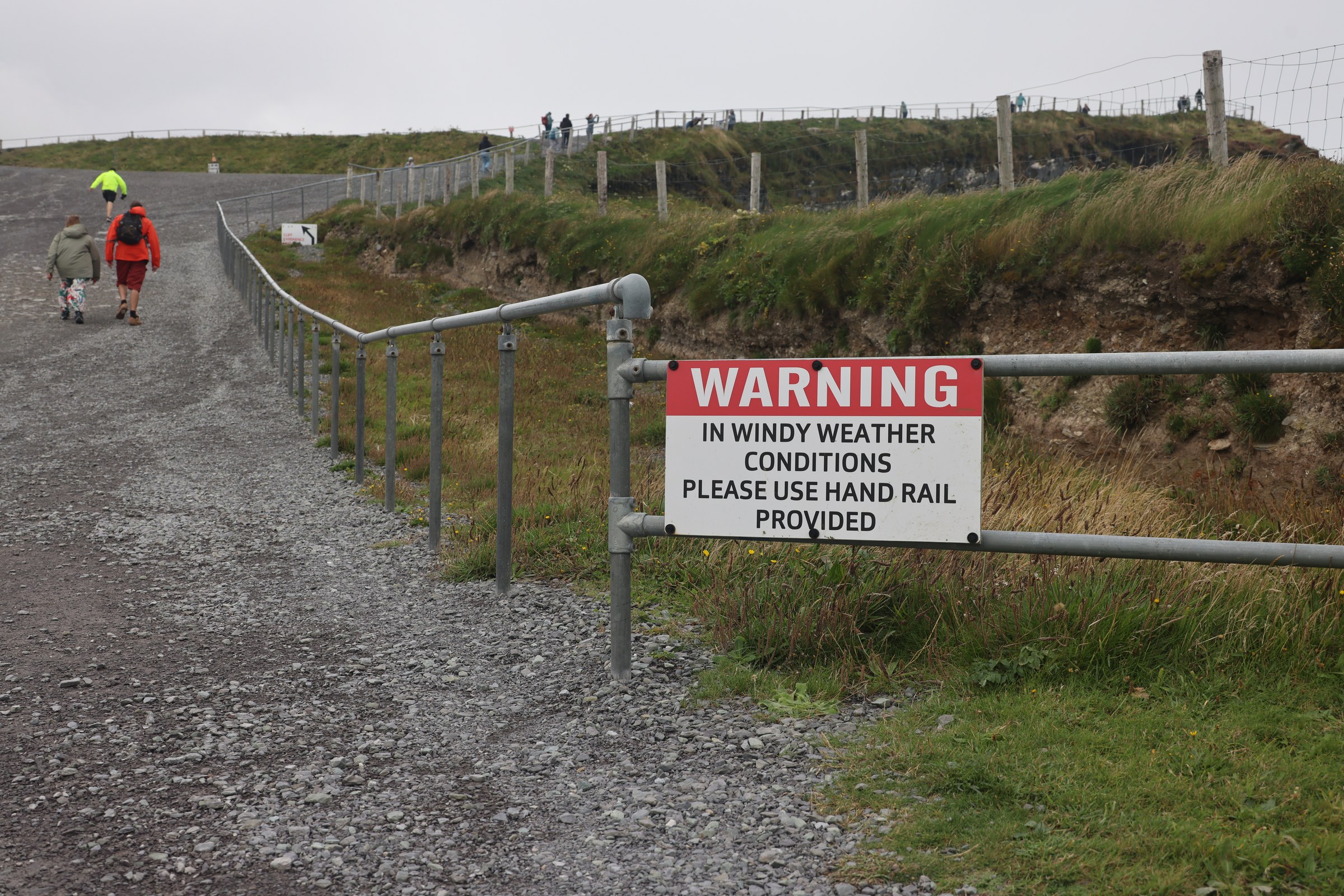
But the views are stunning!
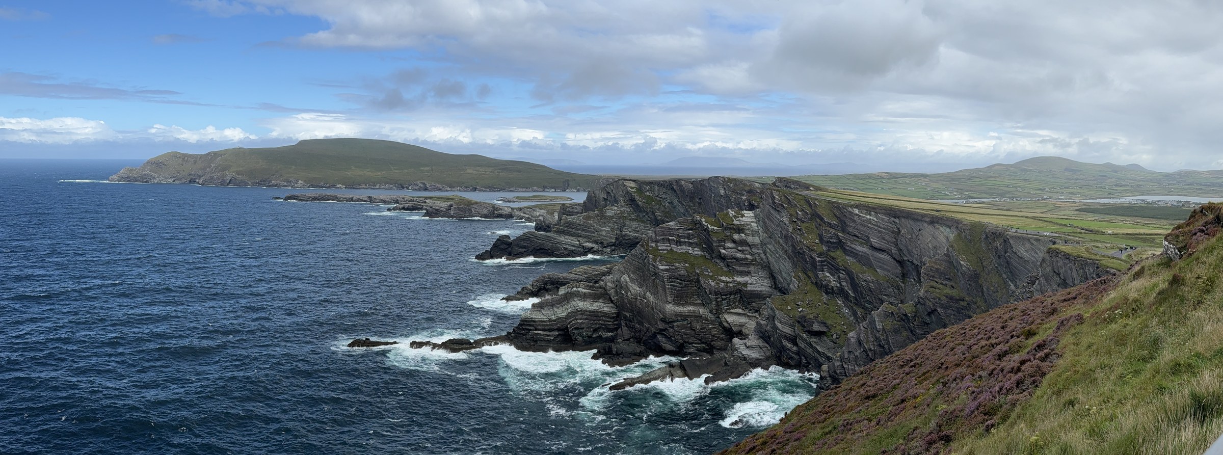
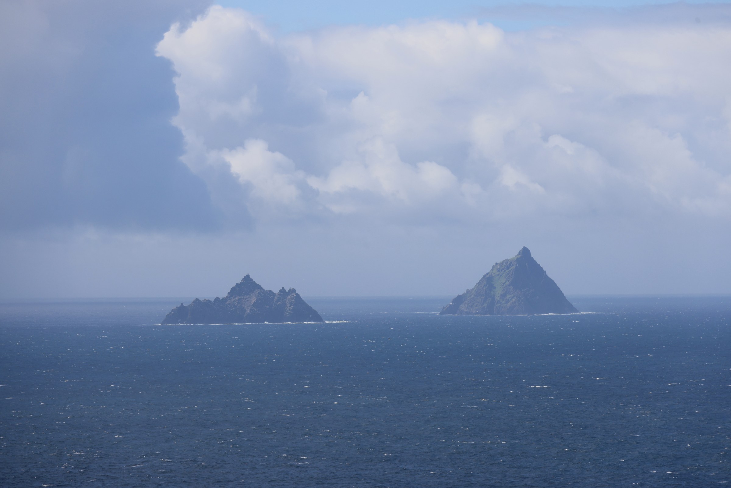
This is probably the closest we got to the Skelligs… having seen them for probably the past week in the distance, then nearly getting on a boat trip. This was it.
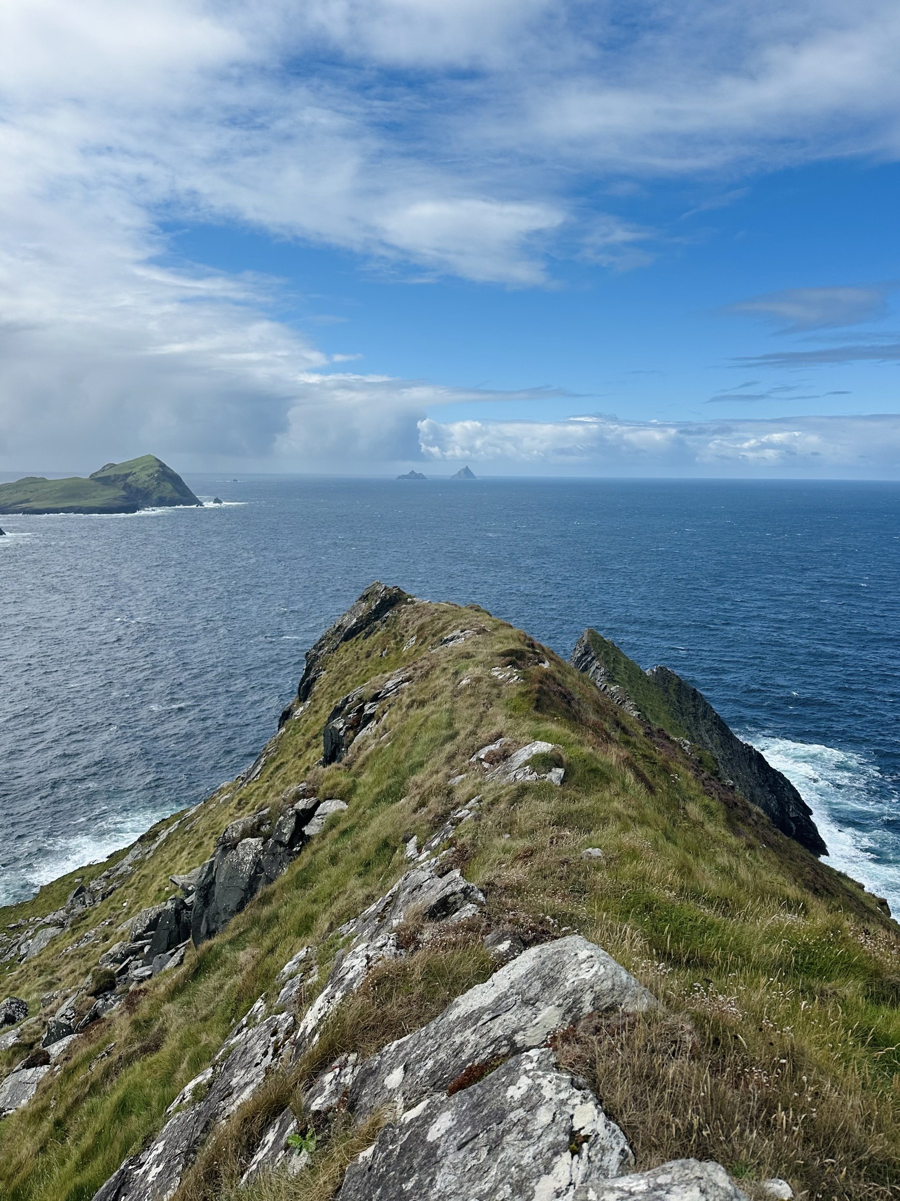
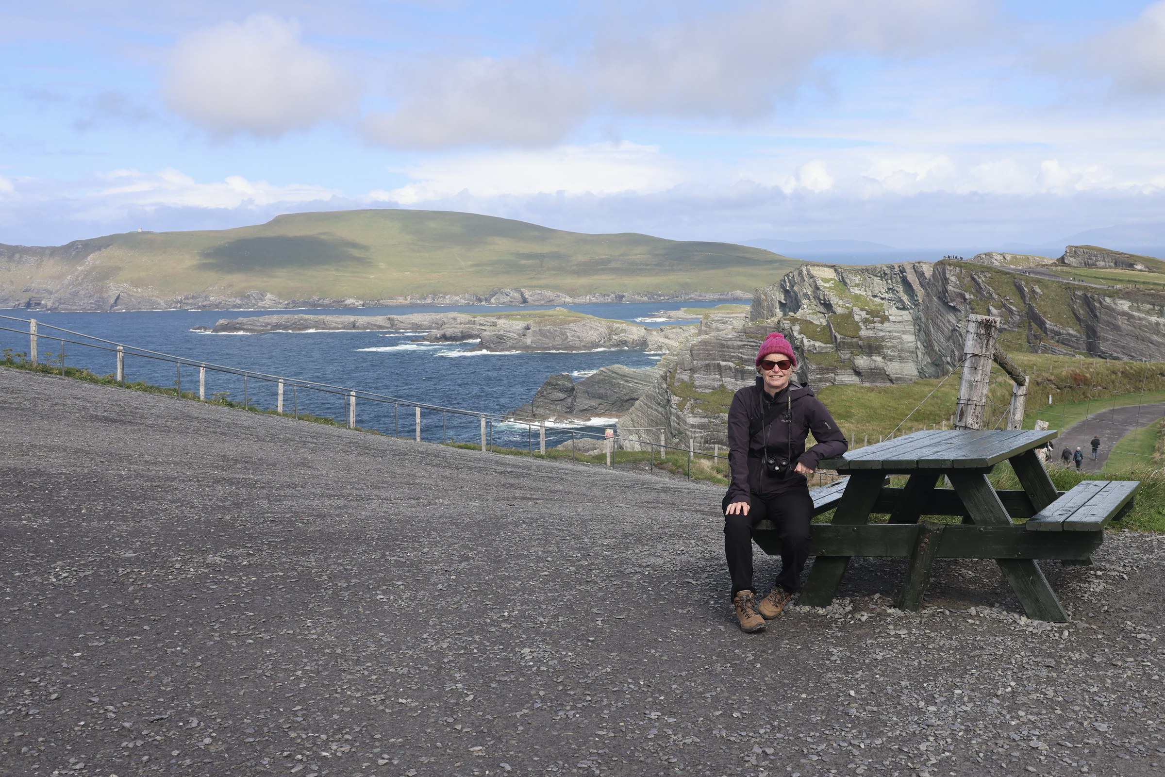
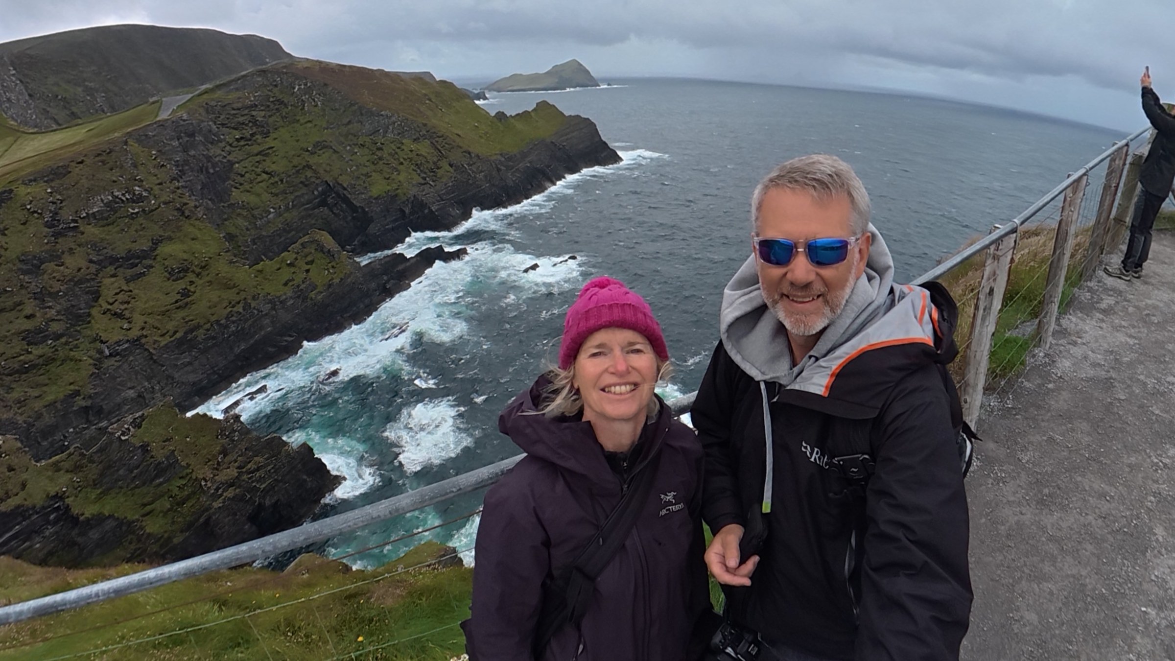
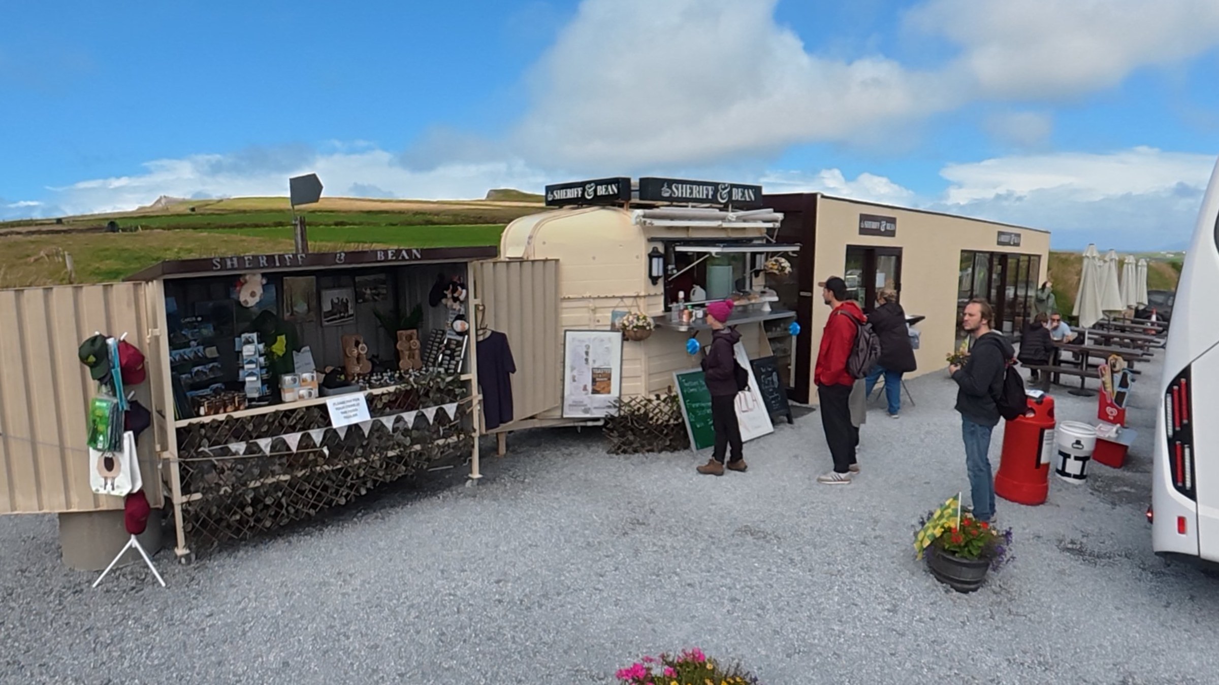
And then, of course, we needed a coffee in the quite acceptable coffee shop in the car park.
We took way more pictures than I’ve included here. But you get the idea… stunning!
The Road to Ballinskelligs
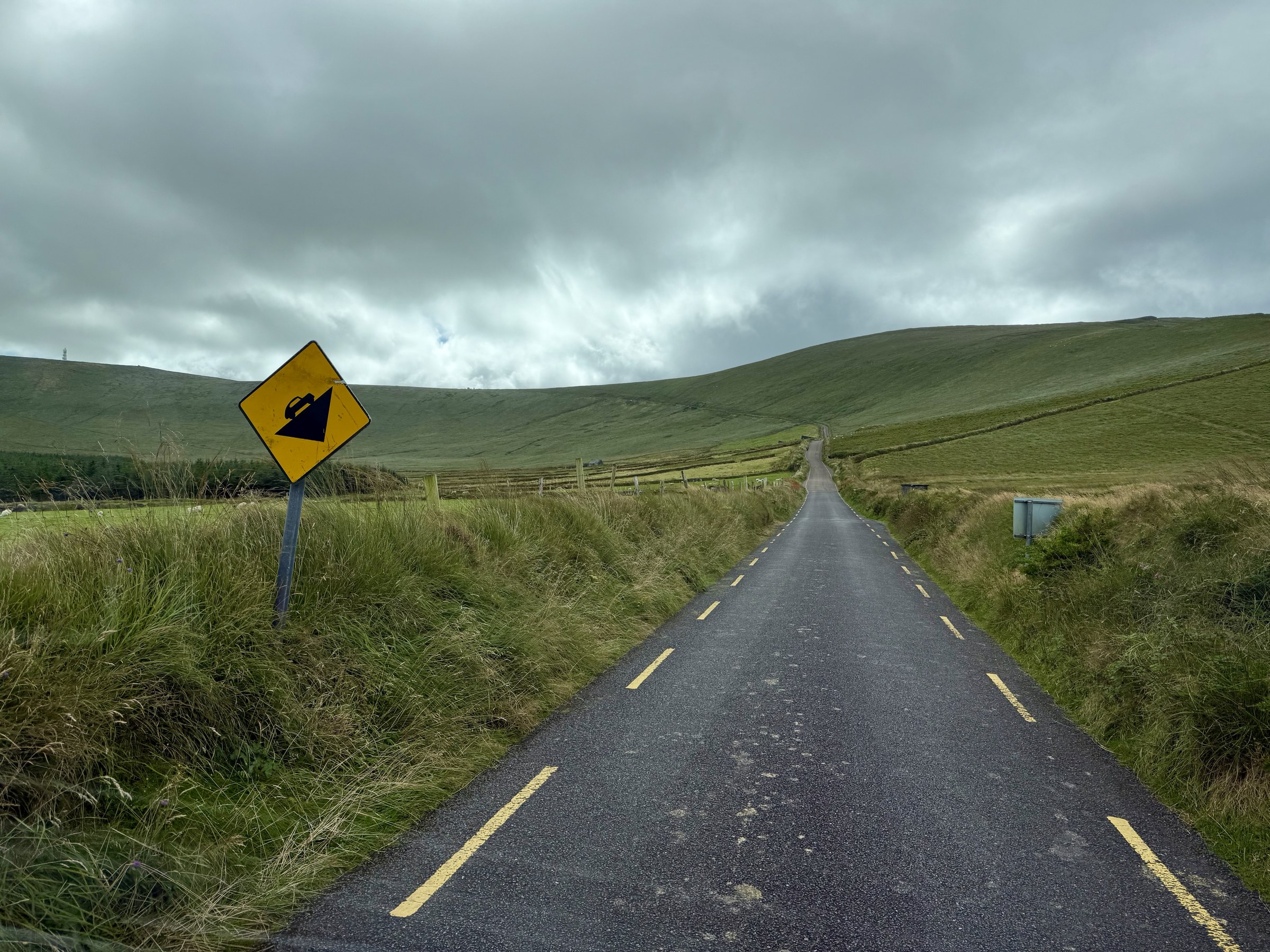
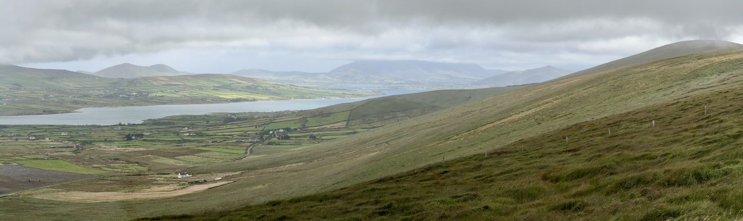
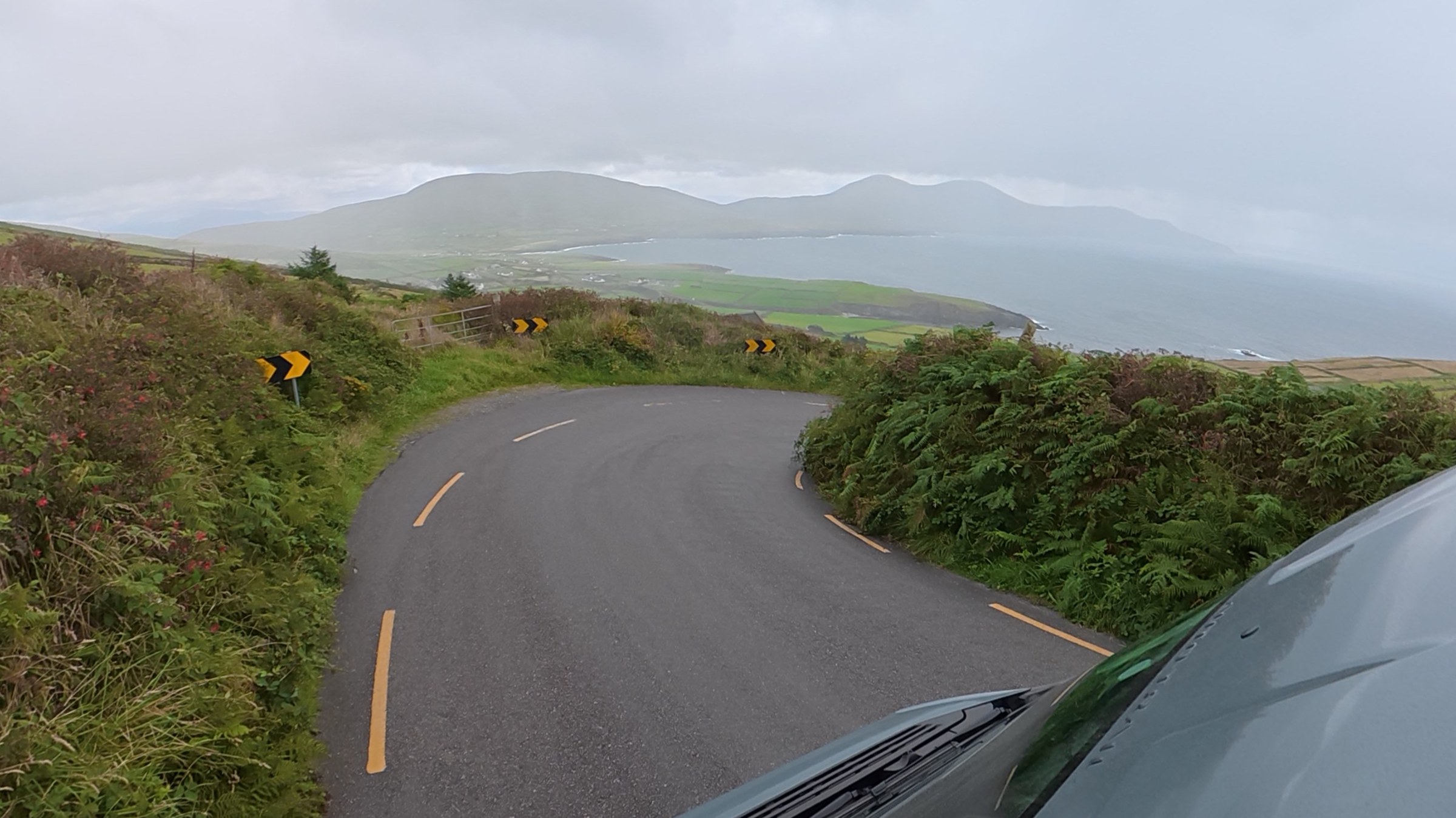
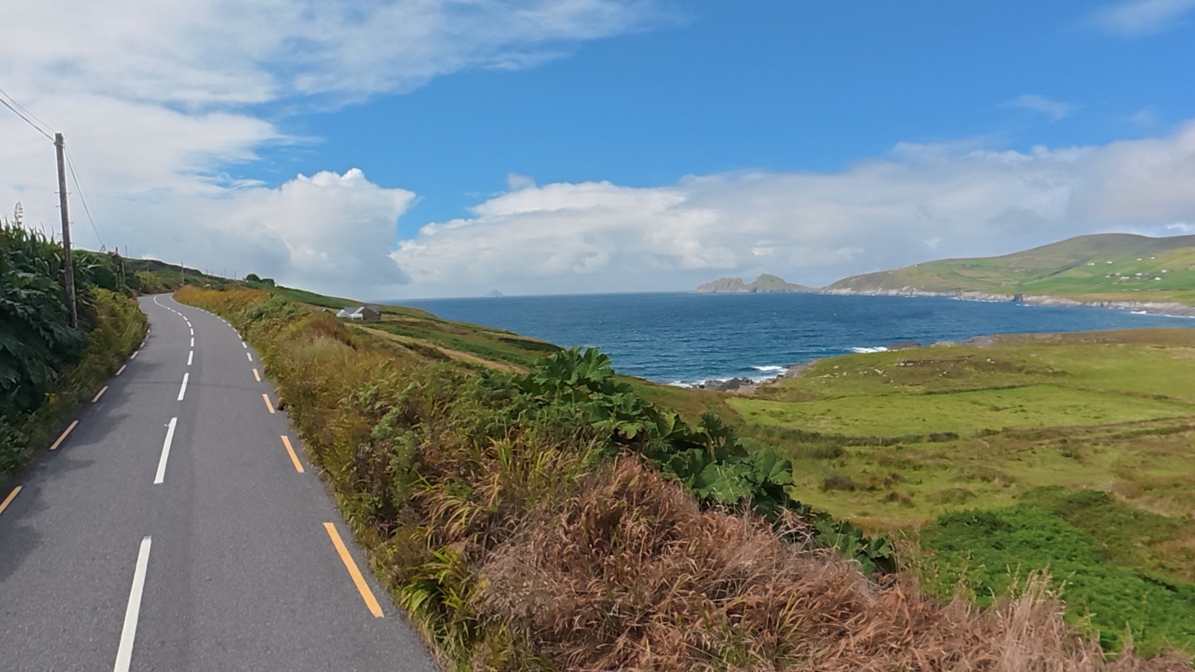
From the cliffs you continue on the Skellig Ring, up winding single-track roads to a summit above Ballinskelligs. There are views all around the winding roads and we stopped a number of times to take in the view.
Then there’s the view back down to Portmagee and Valentia in the distance.
Ballinskelligs
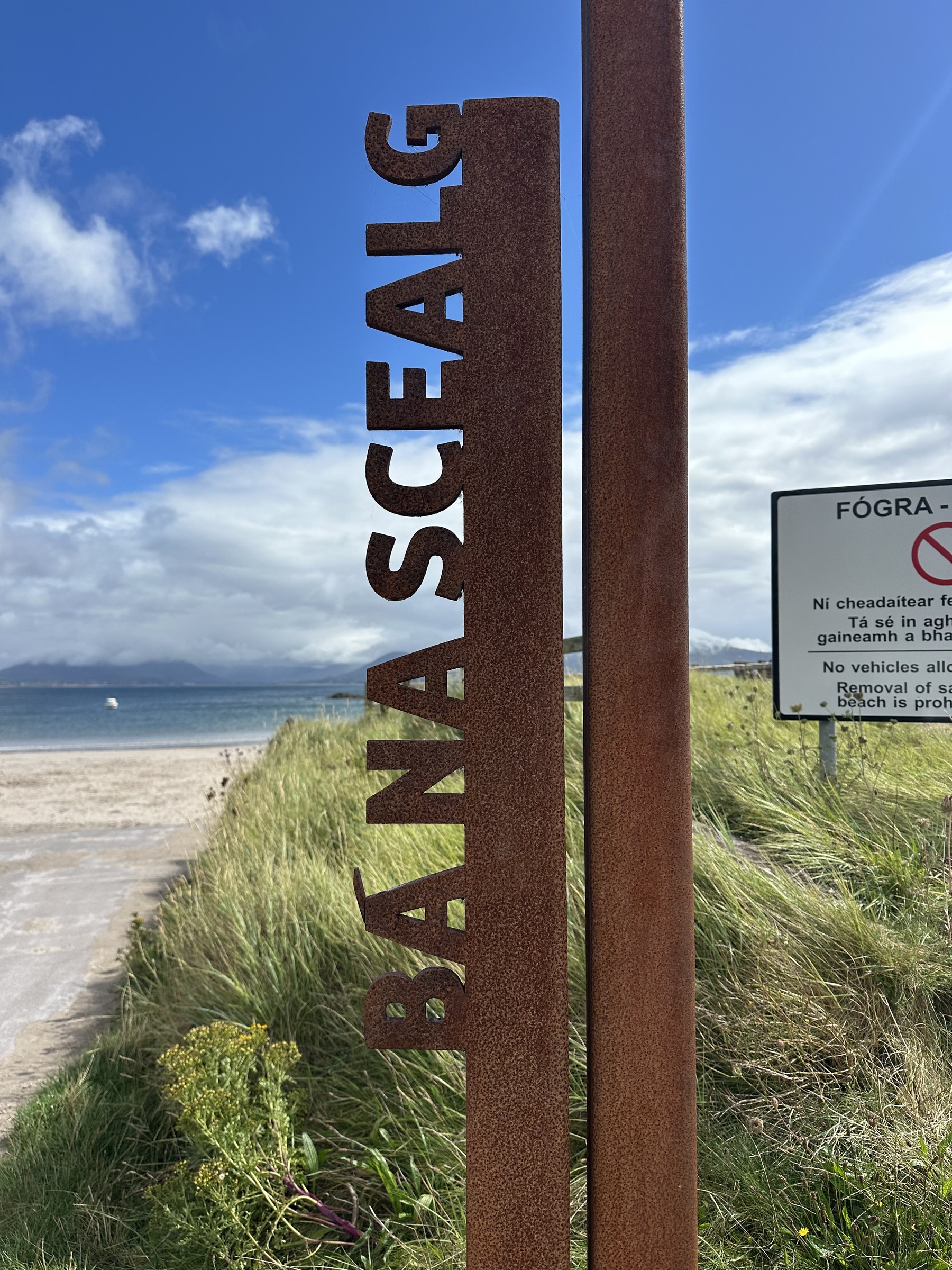
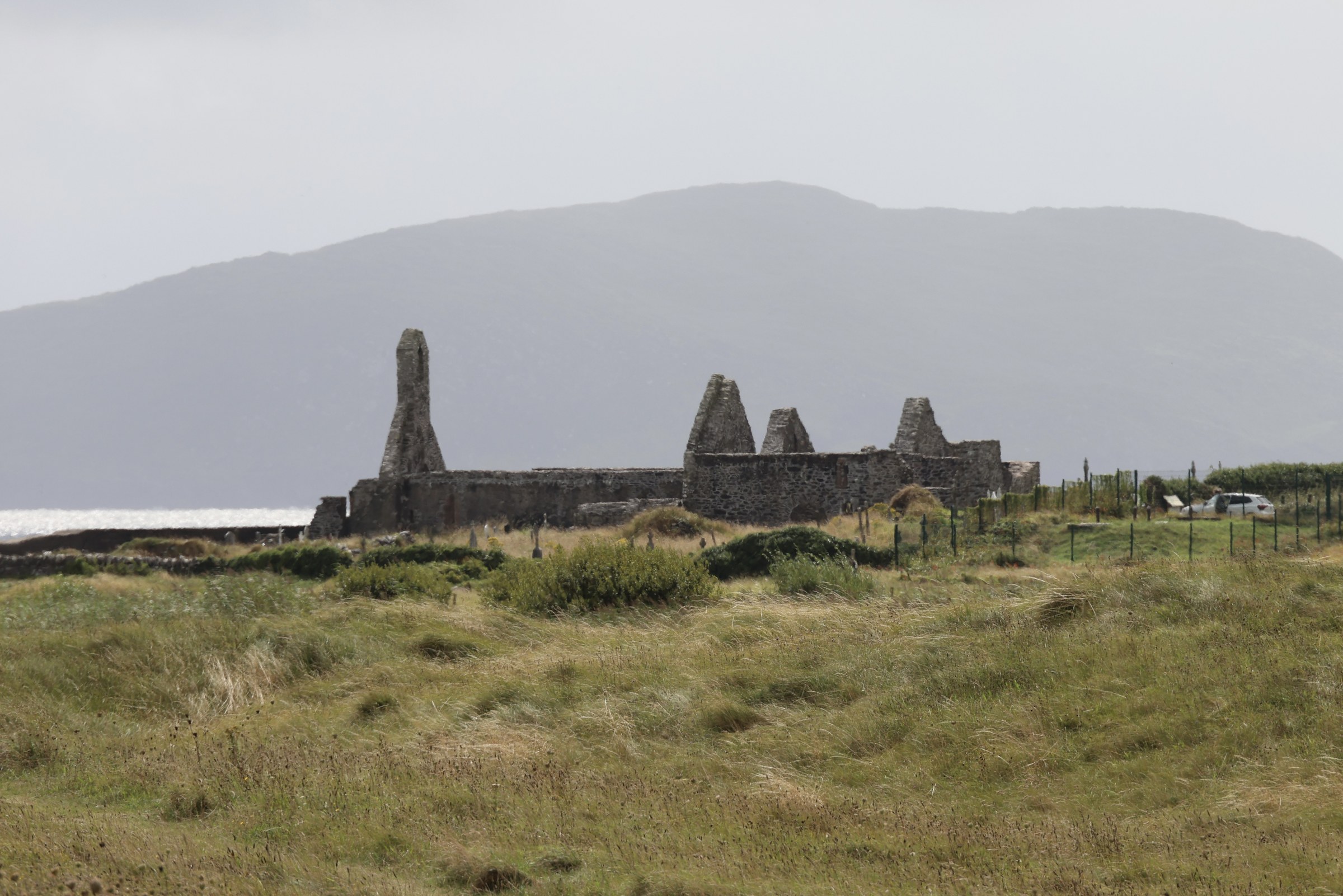
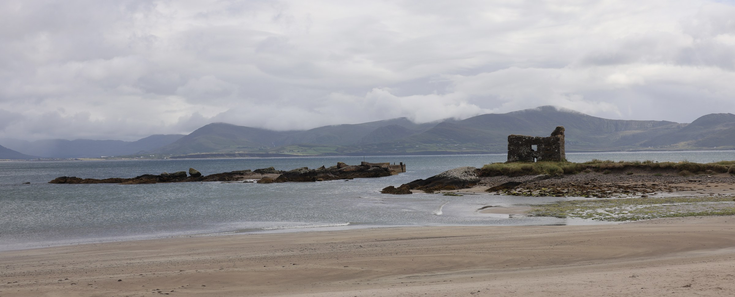
We were heading for a car park to take a look at the beach around Ballinskelligs. And we hit a jackpot with a huge car park, fantastic beach and a brilliant café.
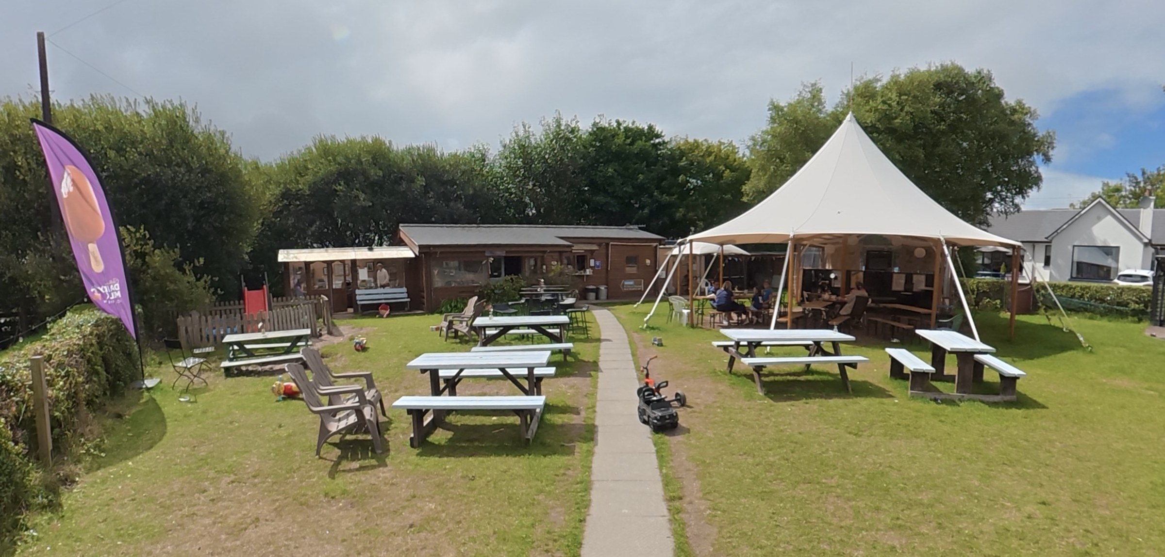
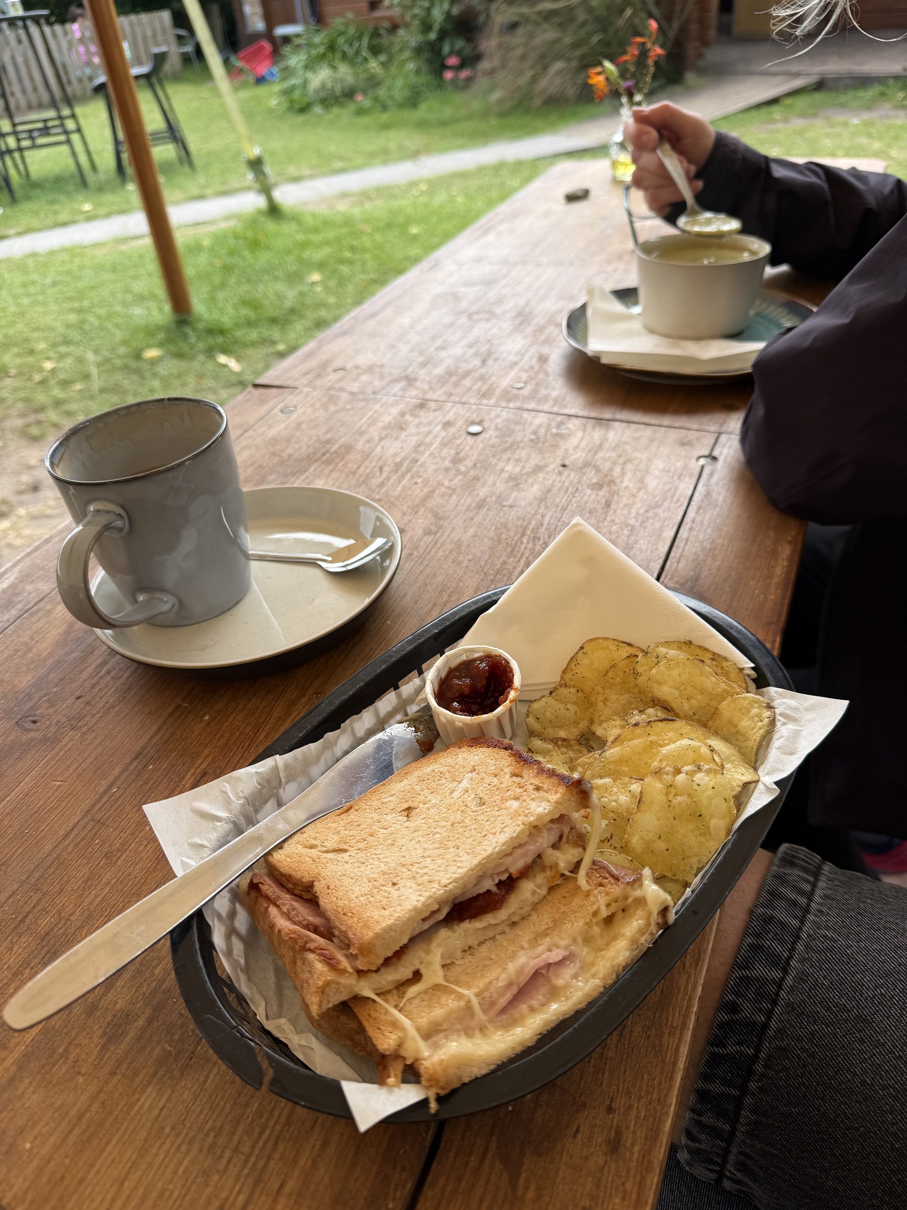
What a fantastic café stop. They had a huge teepee-style tent and GF options for toasties. Sue had the soup. What else could anyone want.
Waterville
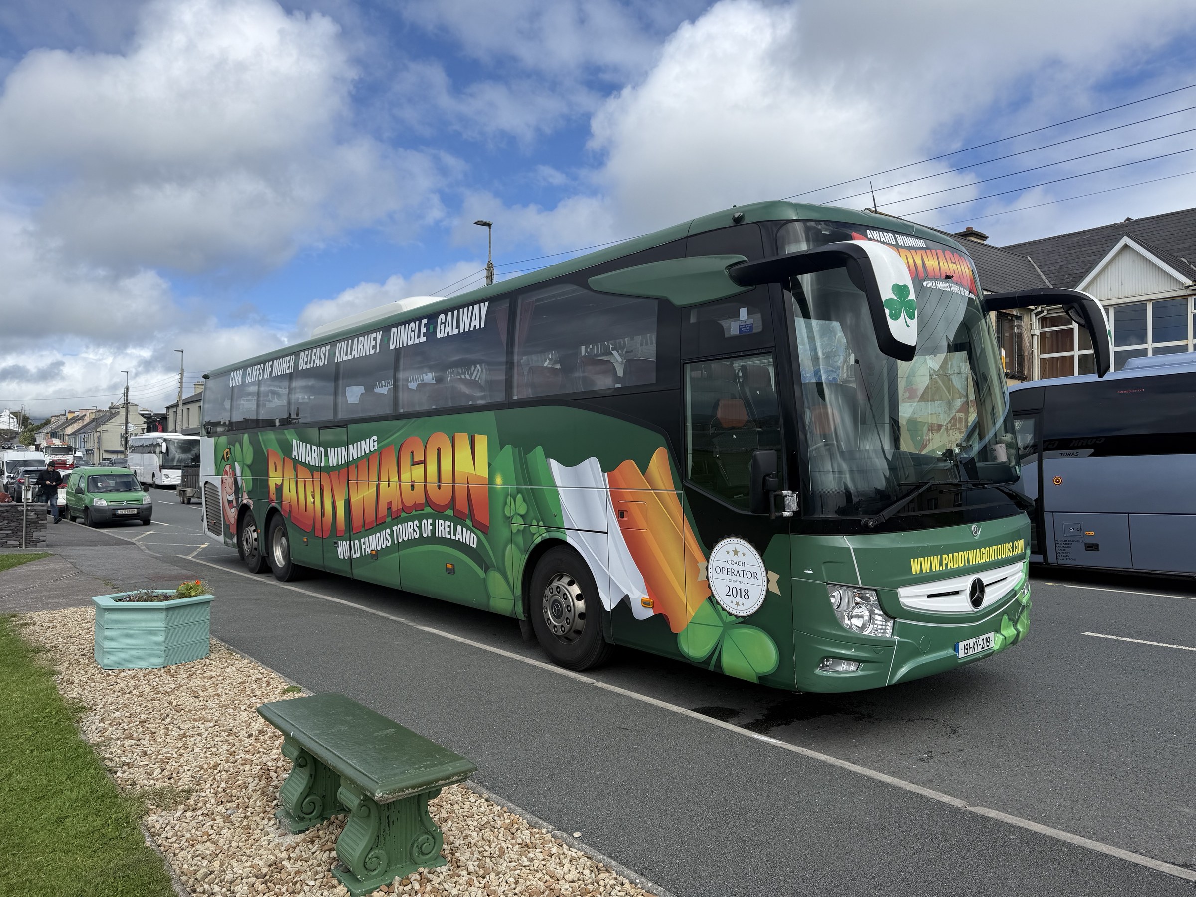
Waterville seemed like a touristy stop off town. Lots of coaches including the infamous Paddy Wagons. They’re infamous for not taking any prisoners on the tighter sections of the RoK.
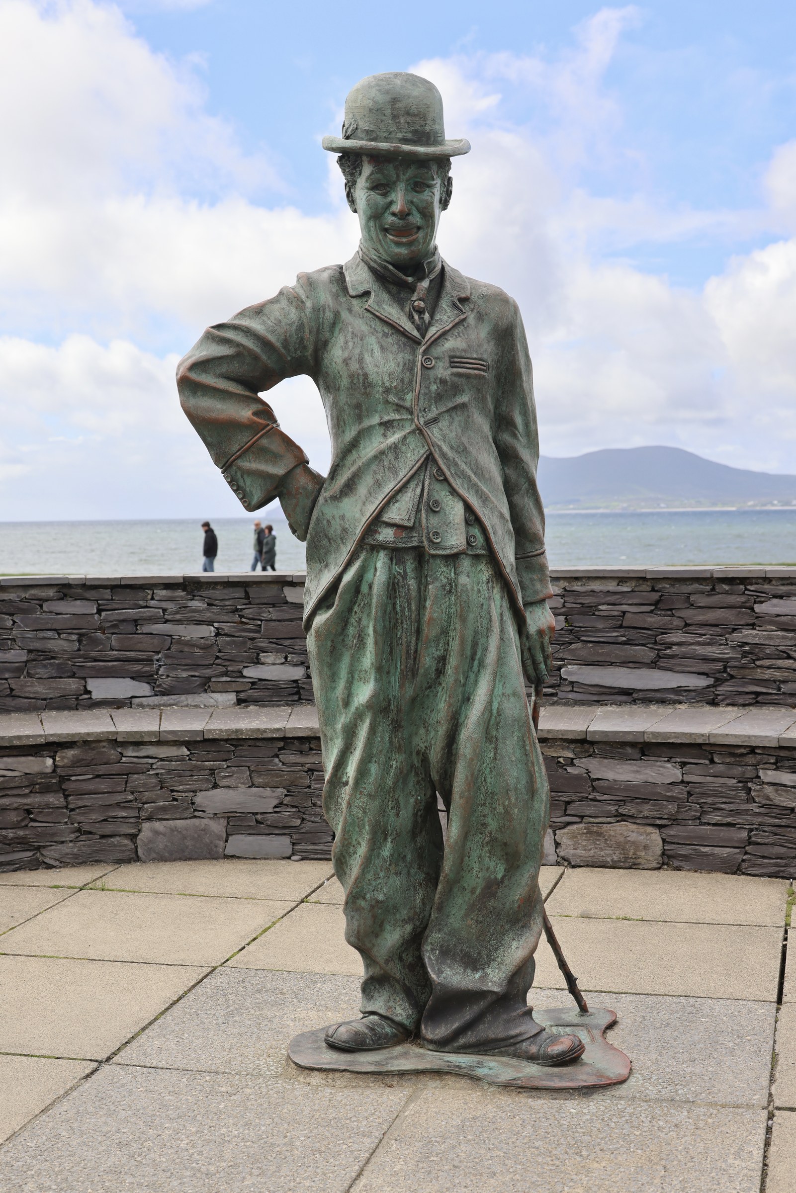
Charlie Chaplin used to holiday here.
Com an Chiste
The road rising out of Waterville (I think — I wish Osmo 360s had GPS!@*#)
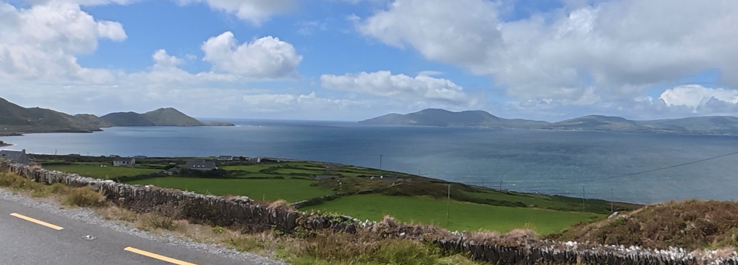
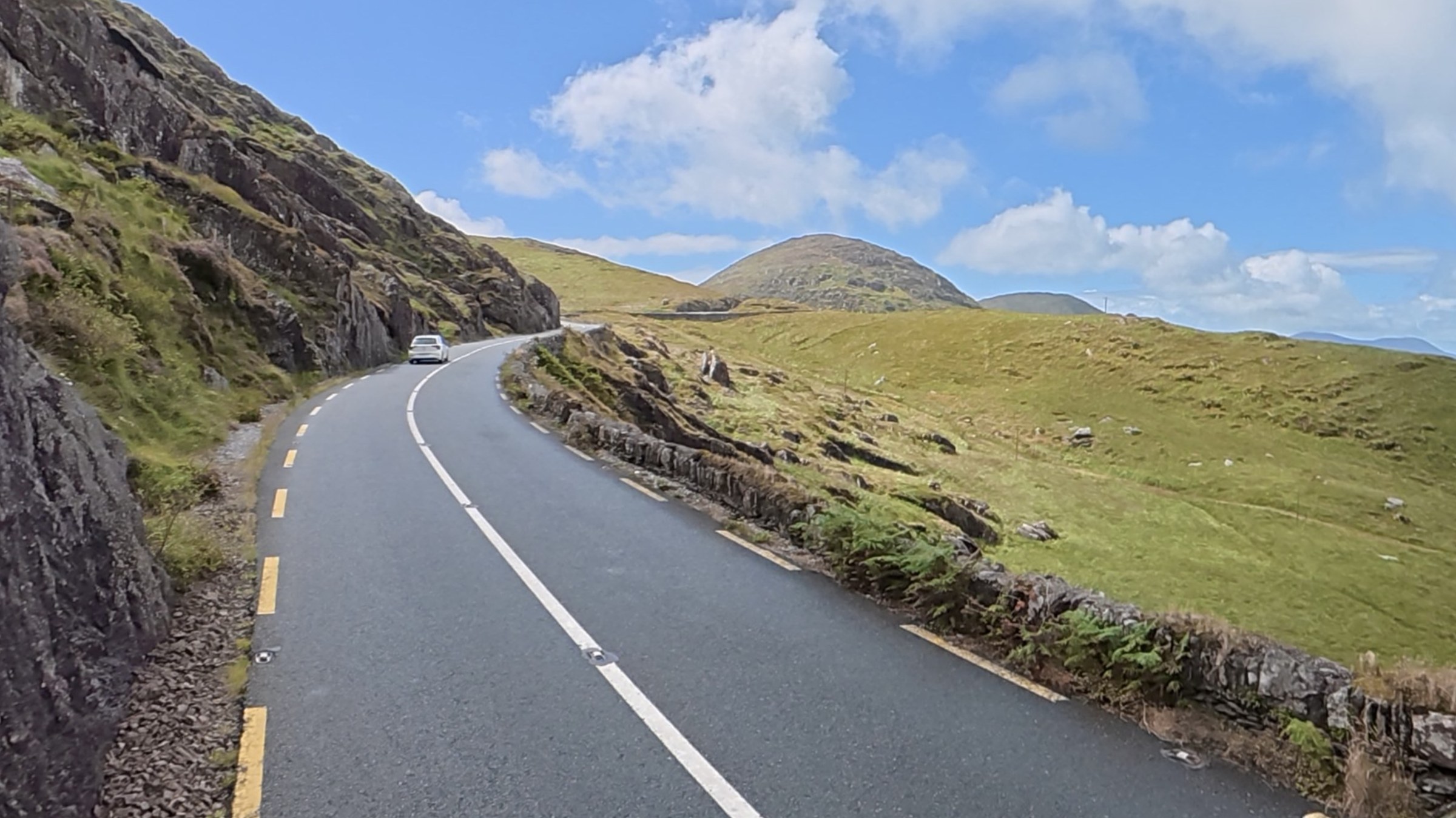
We stopped on the hilltop that rises out of Waterville and then drops down to Abbey Island and Derrynane Beach.
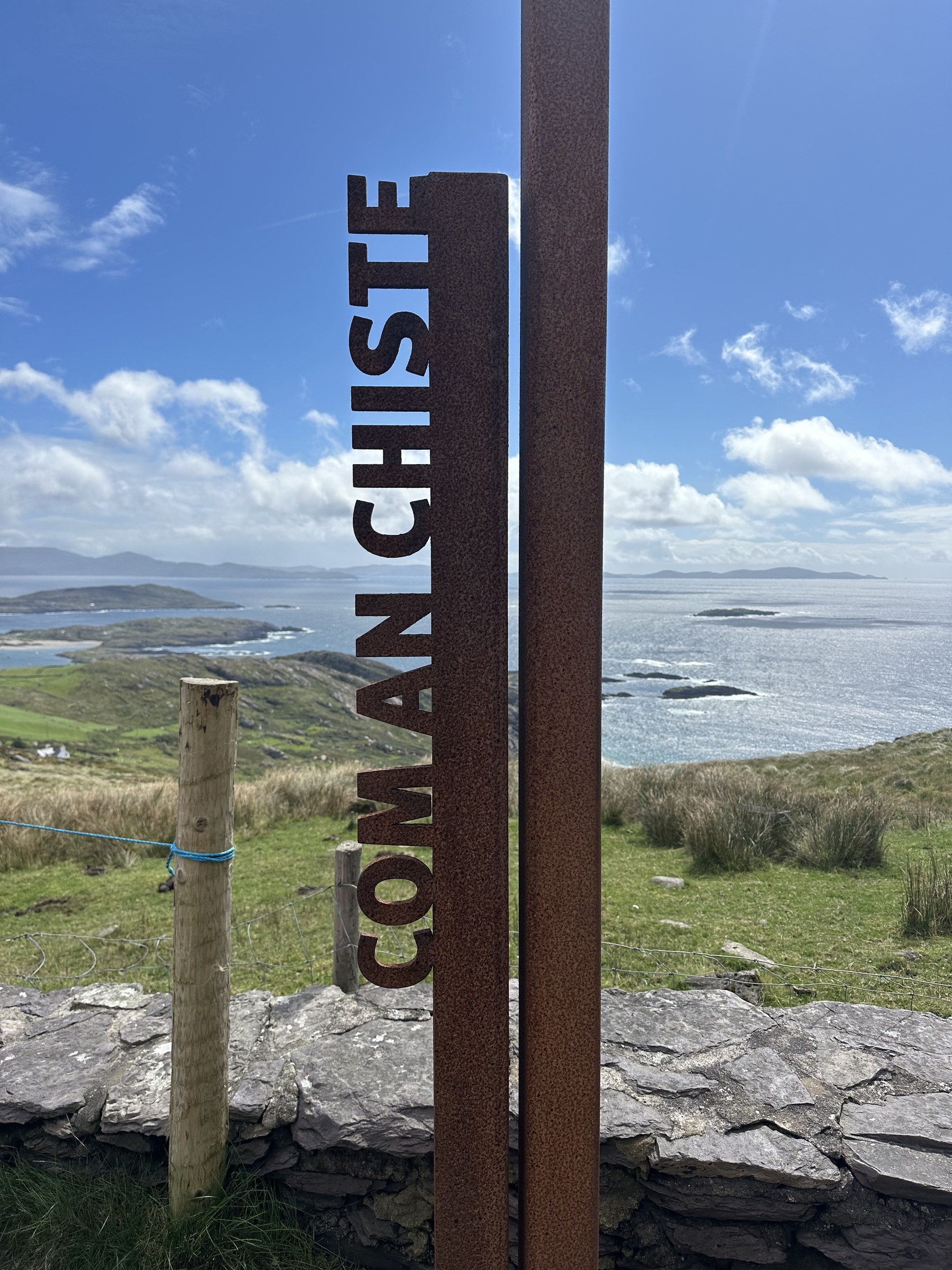
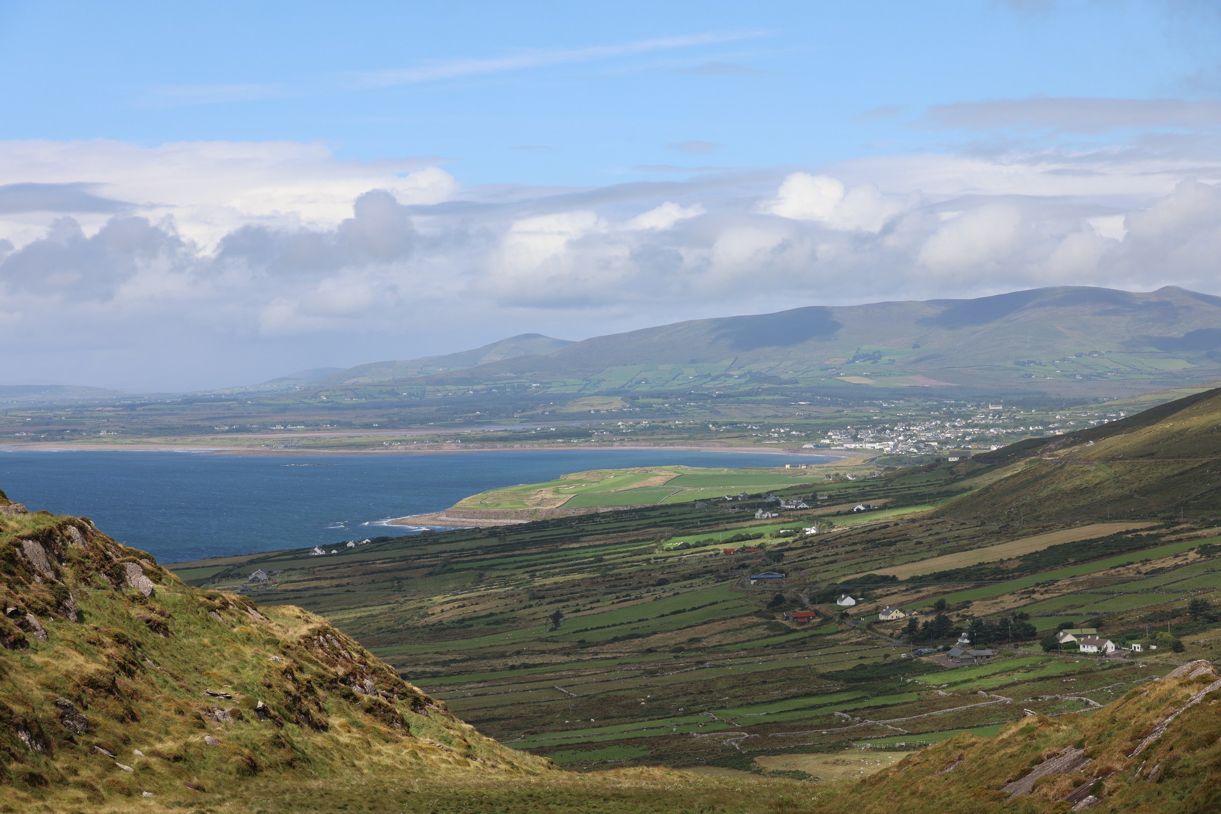
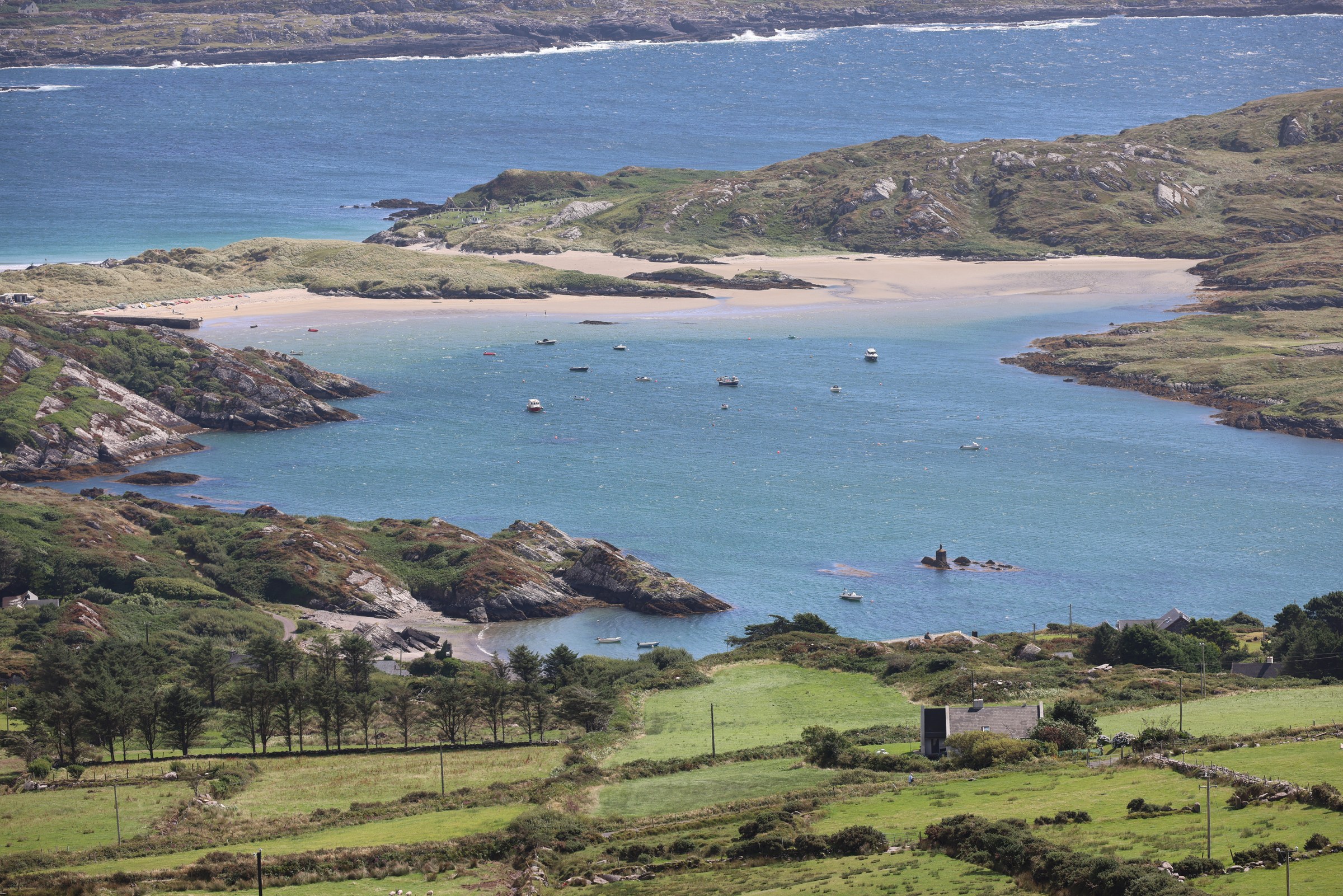
Derrynane House and Beach
We passed a couple of turnings for Derrynane Beach from the main road. They didn’t look wide enough for even our intrepid campervan lane squeezing. Finally there was a turning that took us through the town and then down to Derrynane House.
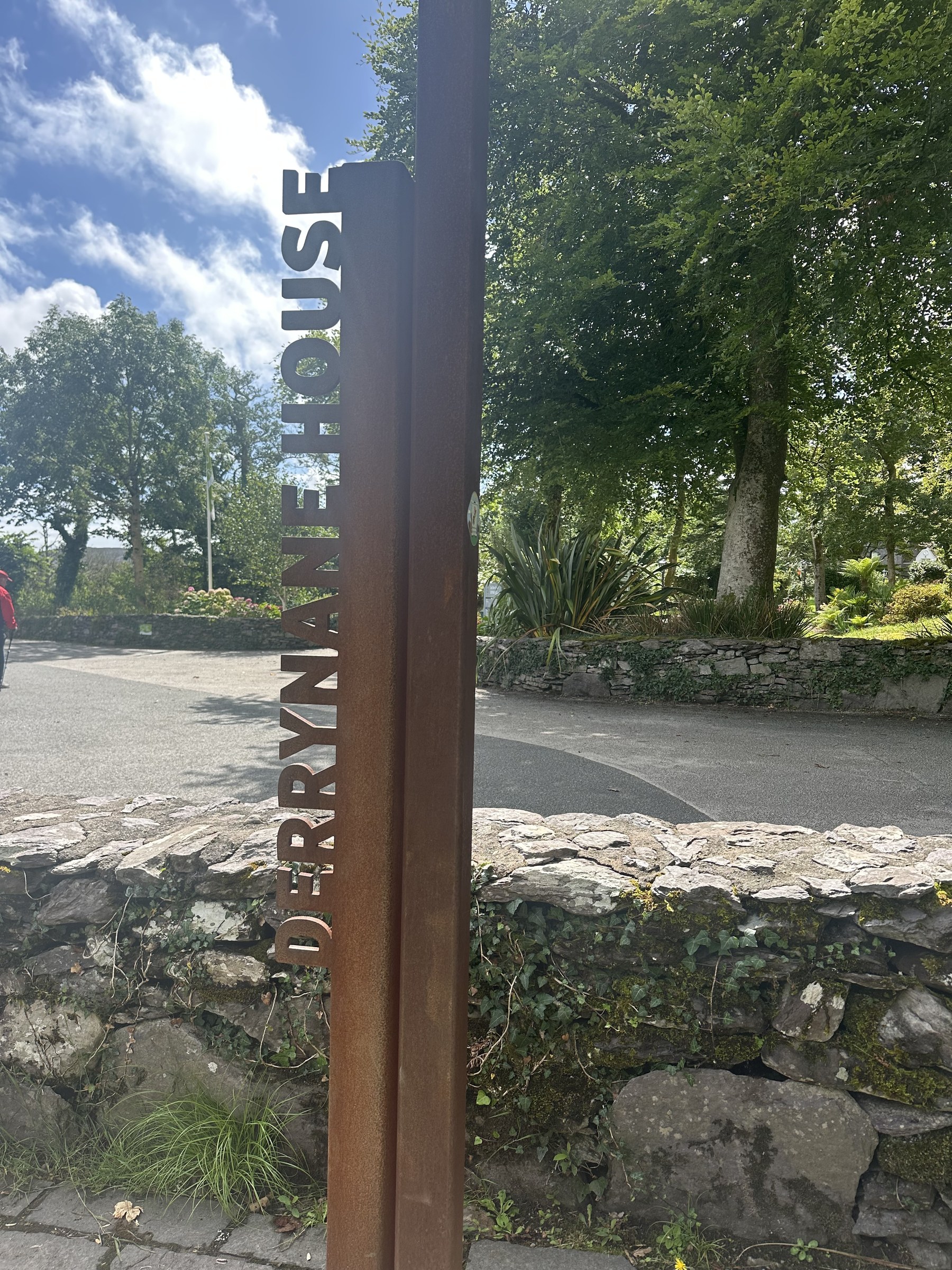
We didn’t go into the house — the ancestral home of Daniel O’Connell — but the signs made sure we knew we’d found it…
We did manage to park in the car park. Even though the locals tell us how busy everywhere is, we still find space in most of the car parks — even the ones with height barriers would have space, if they’d let us in.
We did take up a couple of parking bays (end on) but there were still plenty of spaces when we arrived and left, so we didn’t feel bad about overspilling a space.
There’s a grass “fairway” that leads from the house to the dunes at the edge of the beach. With mown walkways leading you around.
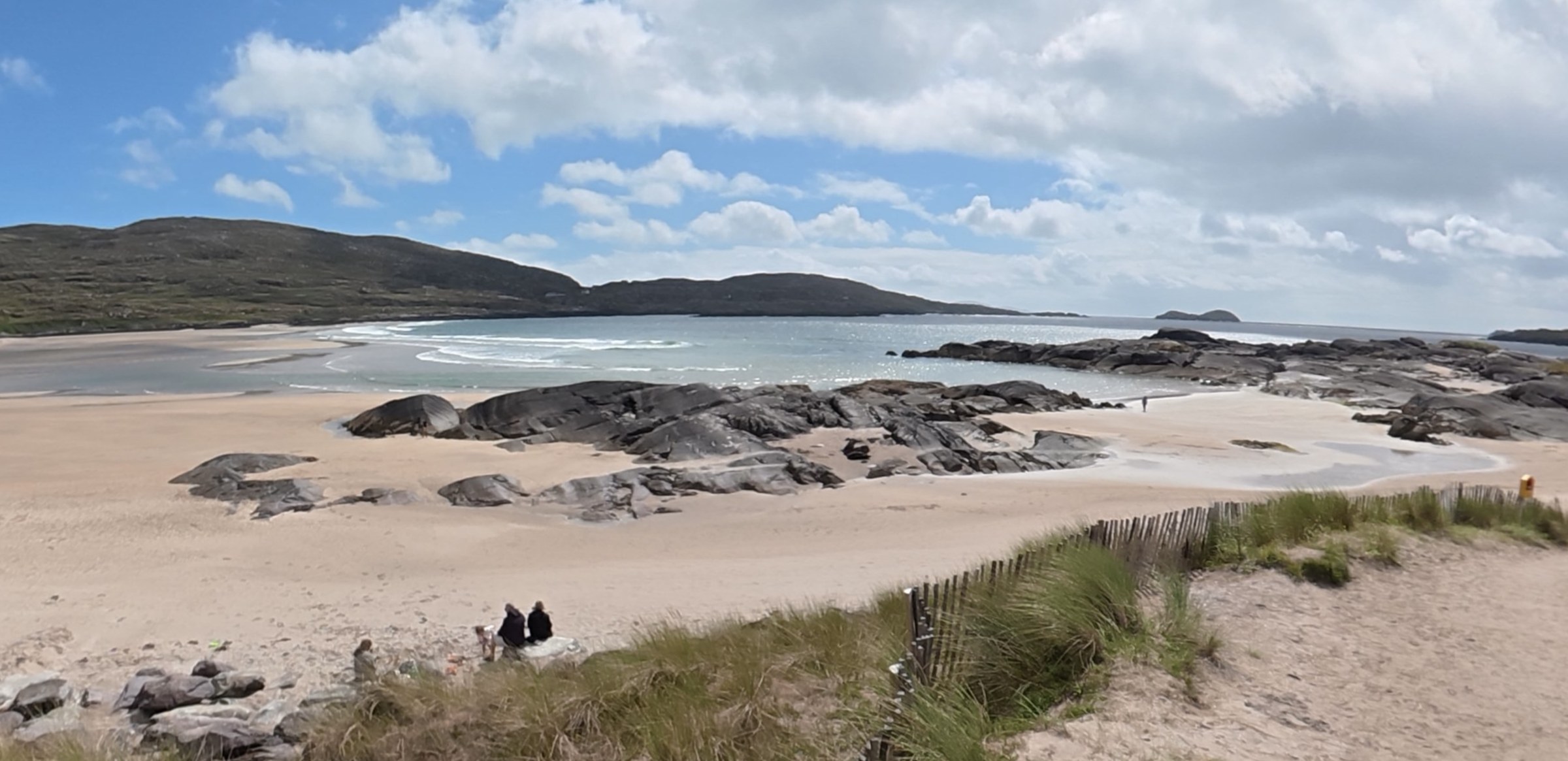
But the beach is something else.
Our new favourite beach of anywhere.
A different beach to Barleycove round from Mizen Head, but on balance definitely a better beach. There’s a wide, arching soft-sand beach with rock pools, and rocks to climb. It just looked stunning in the sunshine — though black clouds loomed overland as we headed back to the car. We didn’t get wet, but the roads heading away from the beach were wet.
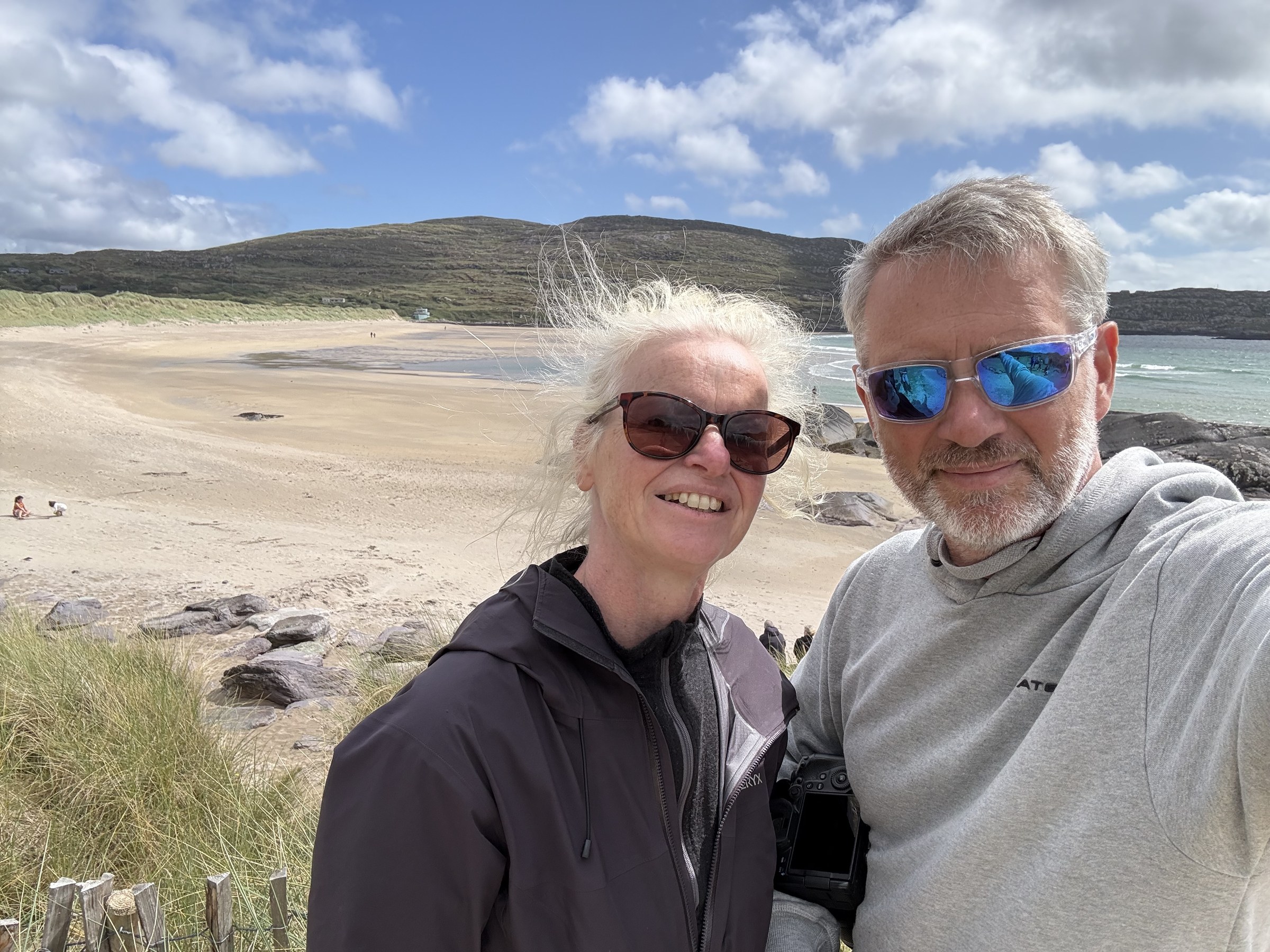
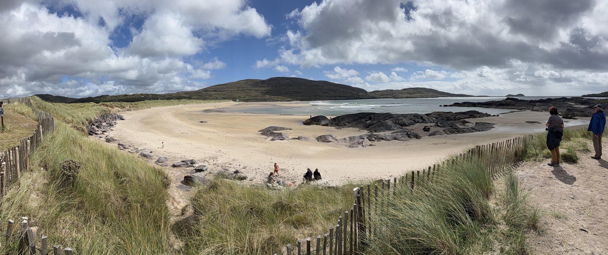
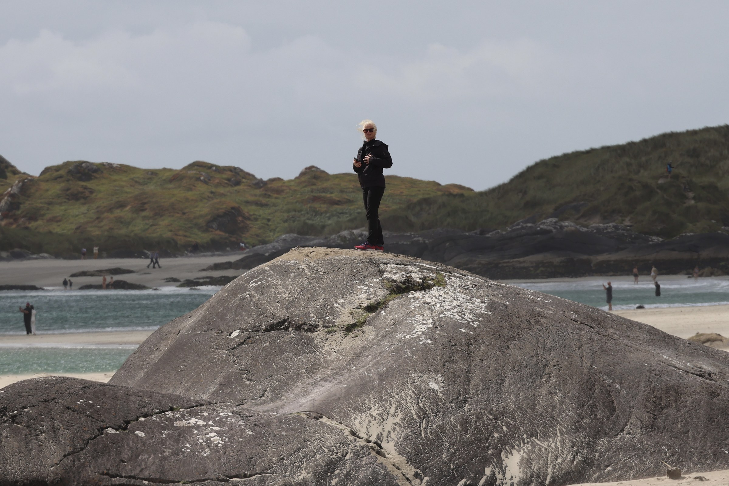
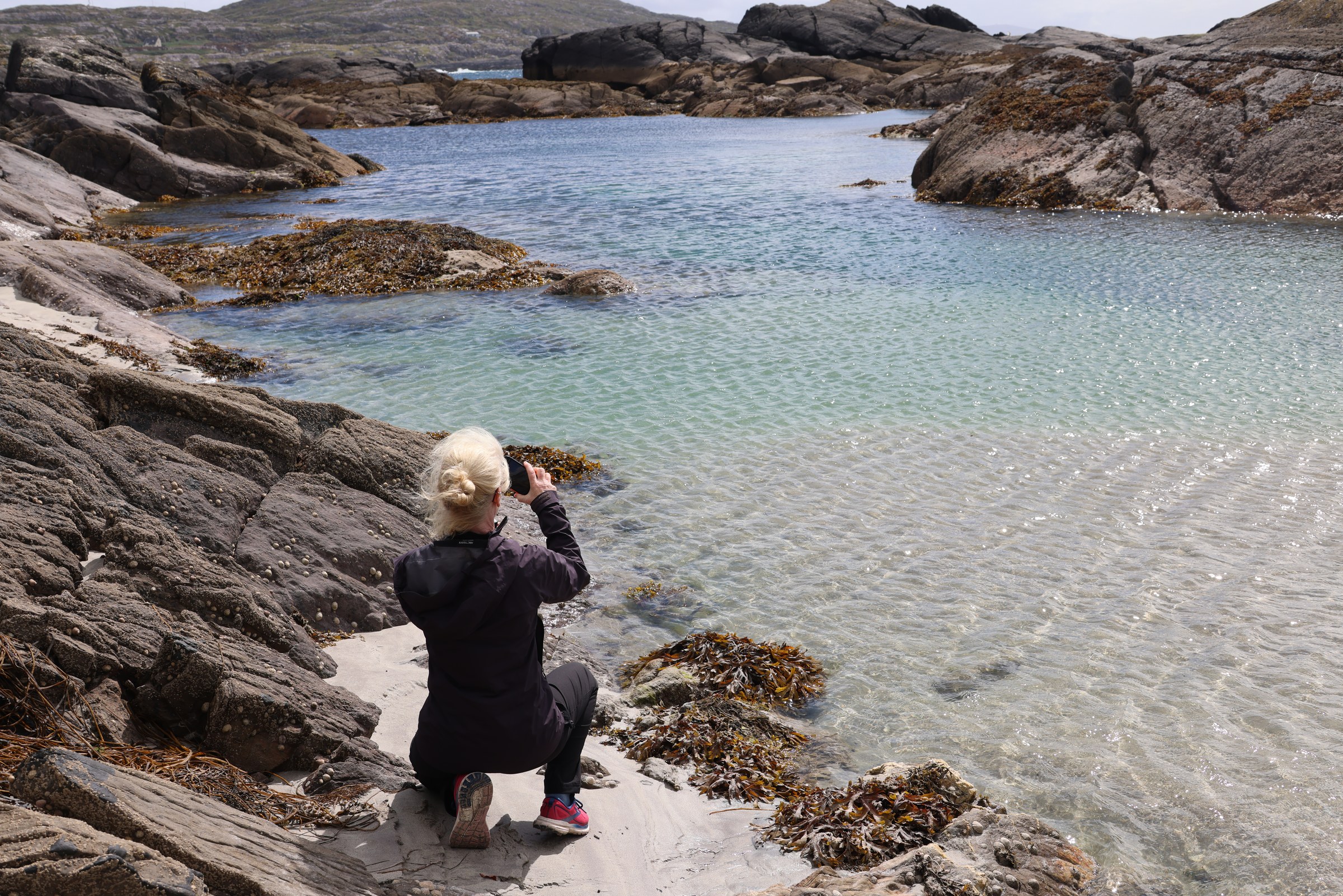
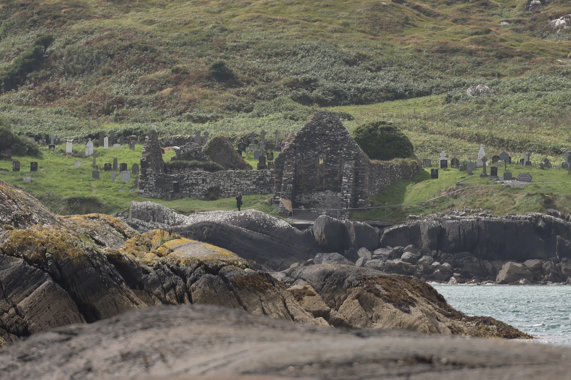
There are also the ruins of Derrynane Abbey on Abbey Island, at the far end of the beach from Derrynane House — number 11 on the derelict church count.
Sneem
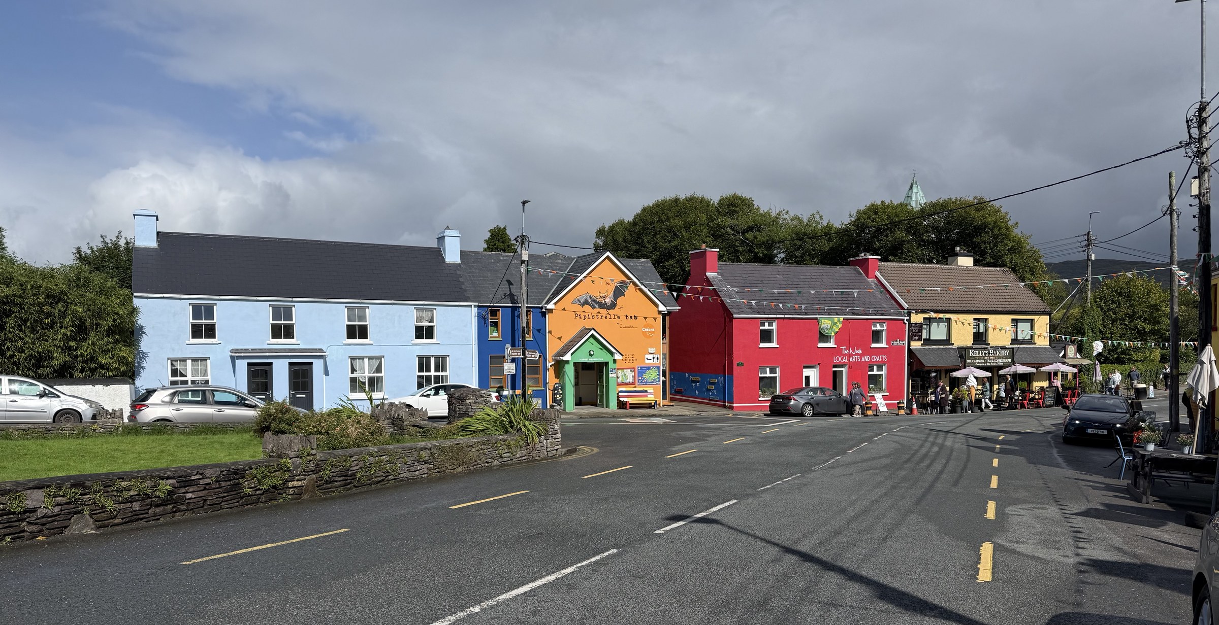
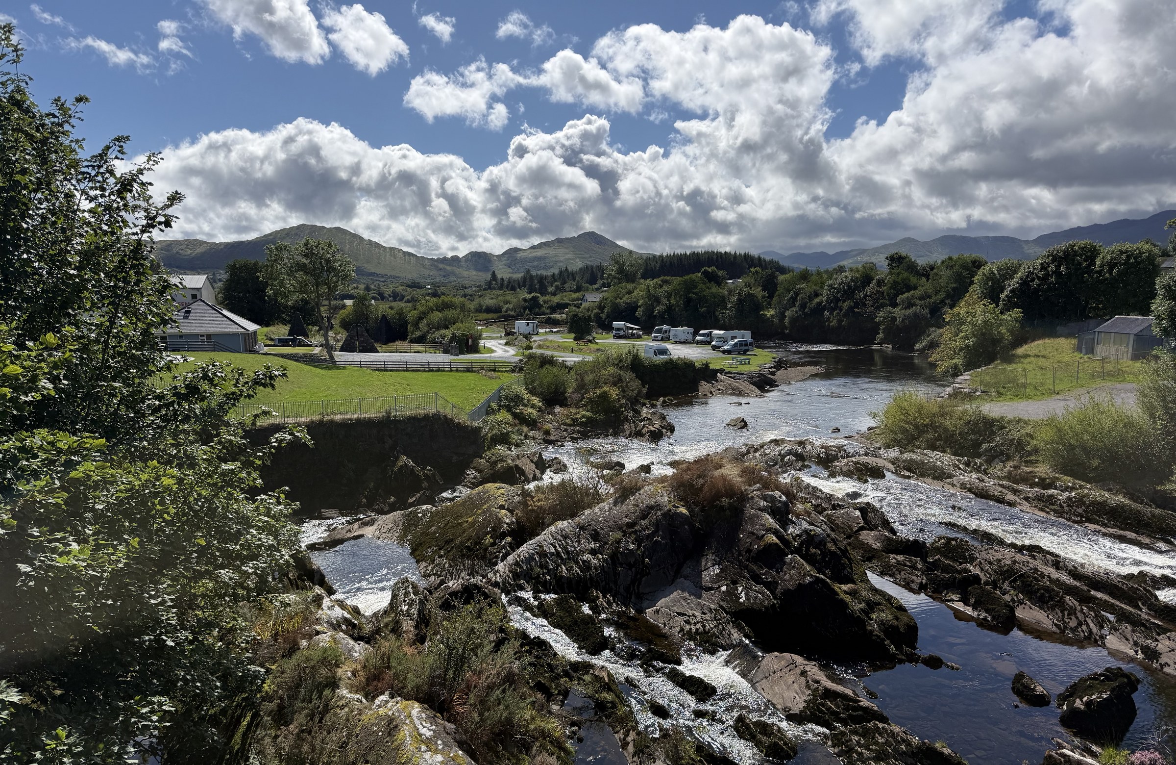
Sneem is another one of those coloured-in villages.
There’s supposed to be a fantastic camping spot down by the river… pay for your night at the pub up in the village.
Back at the Kenmare Aire
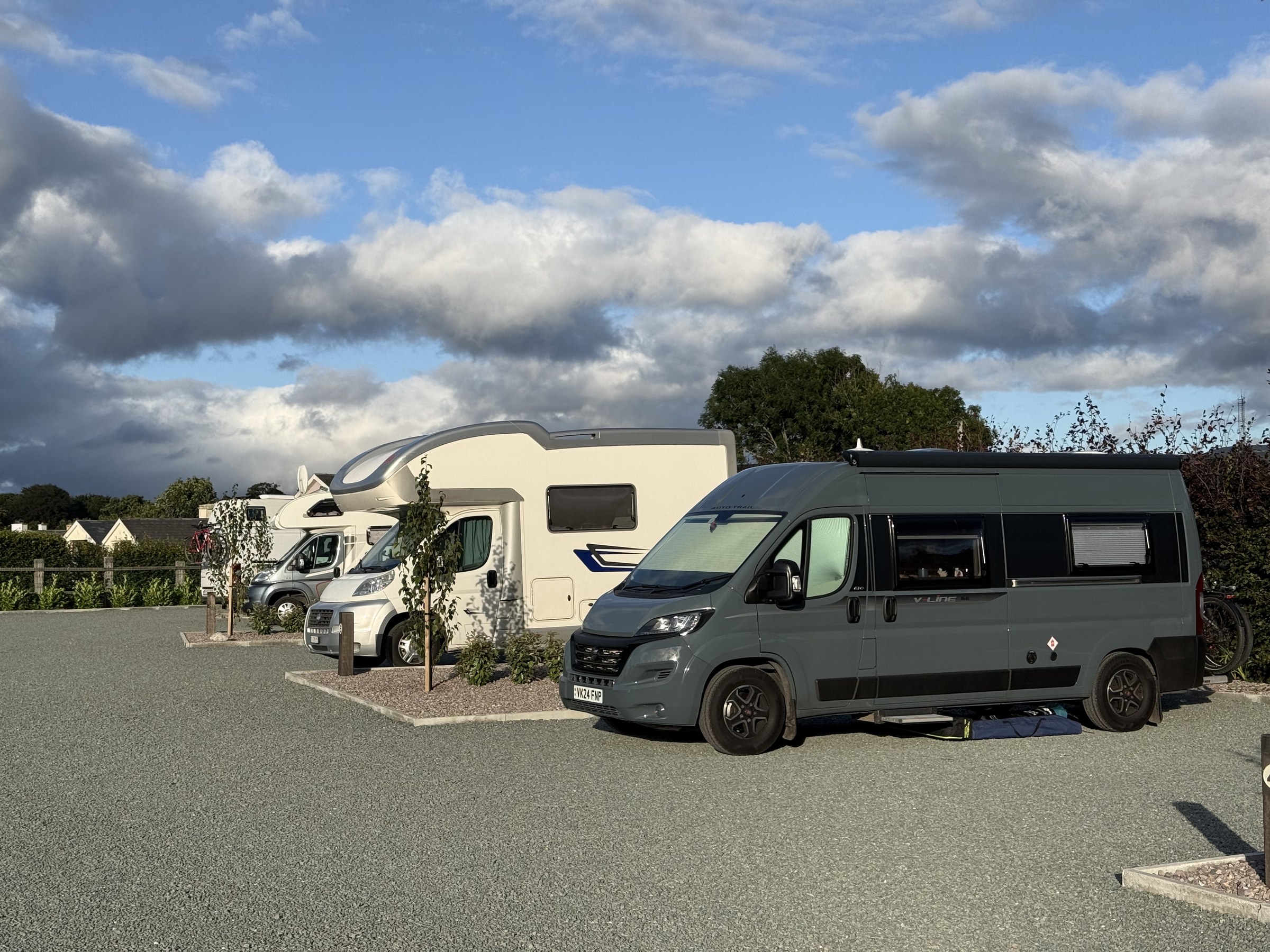
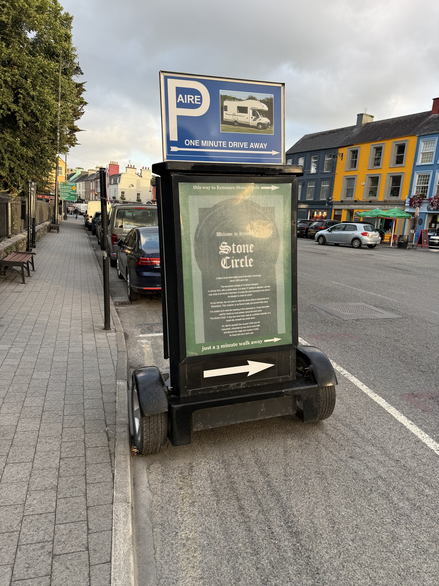
Fortunately it was a bit of a quieter day today. I did a lot of driving, but I didn’t crash like last night. Pacing. Grrr.

Leave a Comment