

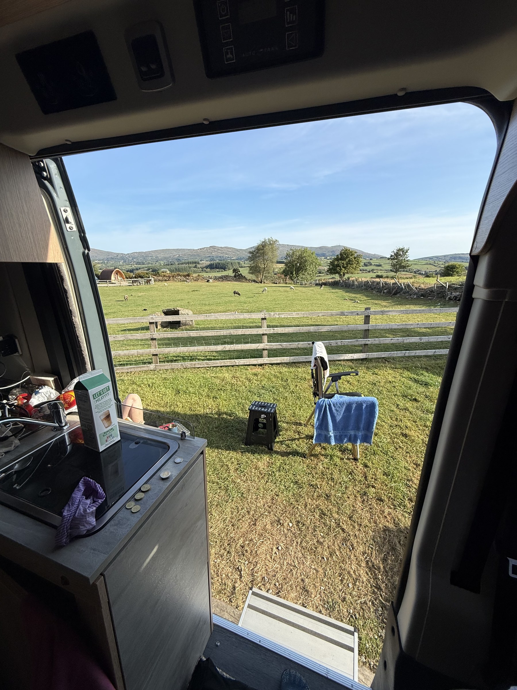
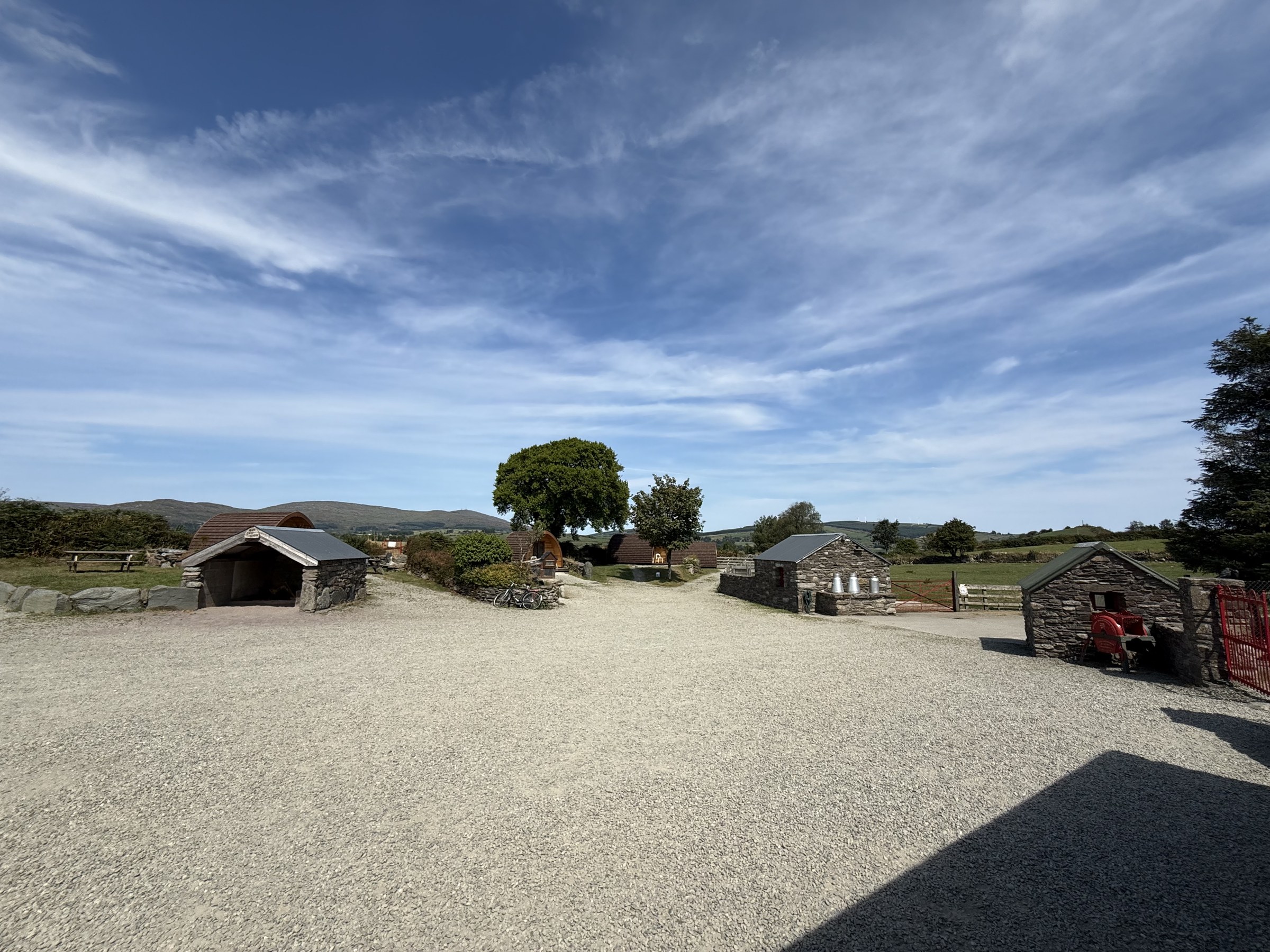
What’s not to like about a morning that starts with a view like this?
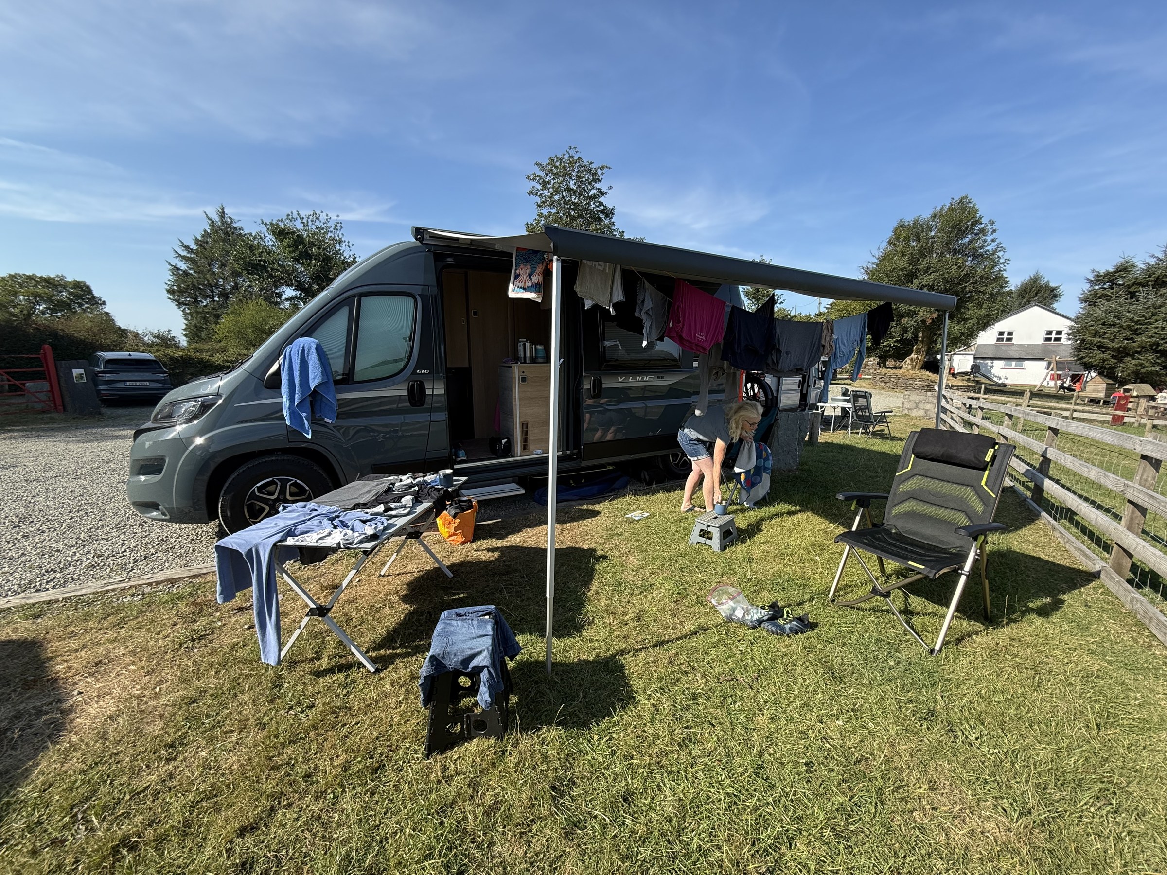
Today is a static day. We’d planned to do our washing, sort the van out a bit and have a walk if we had time—of course we had time.
And of course the owner, David, had his 10 o’clock menagerie feeding.
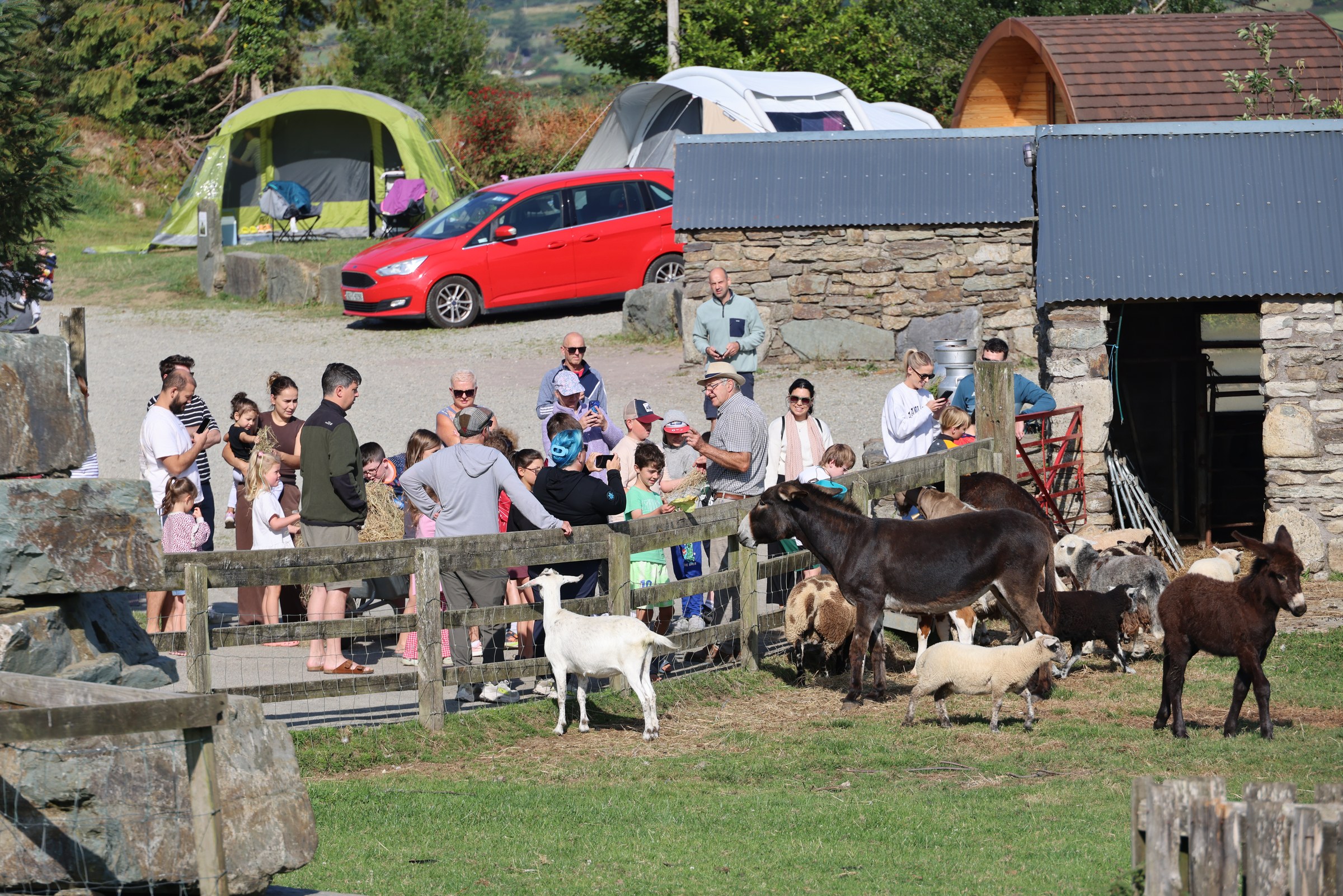
The animals are cute, though…
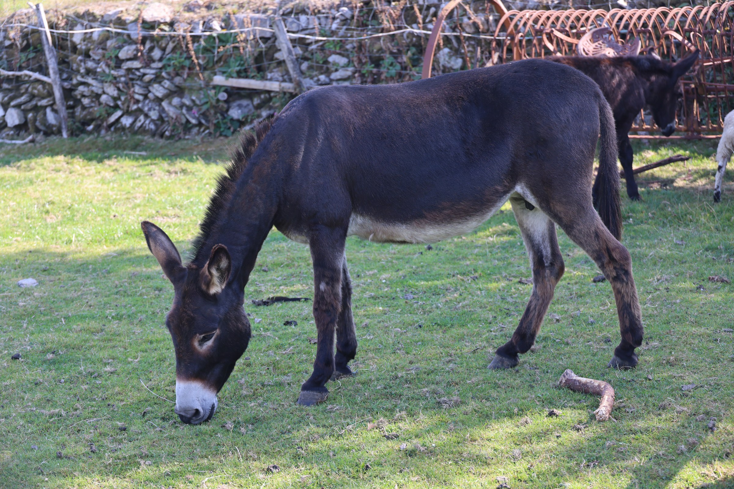
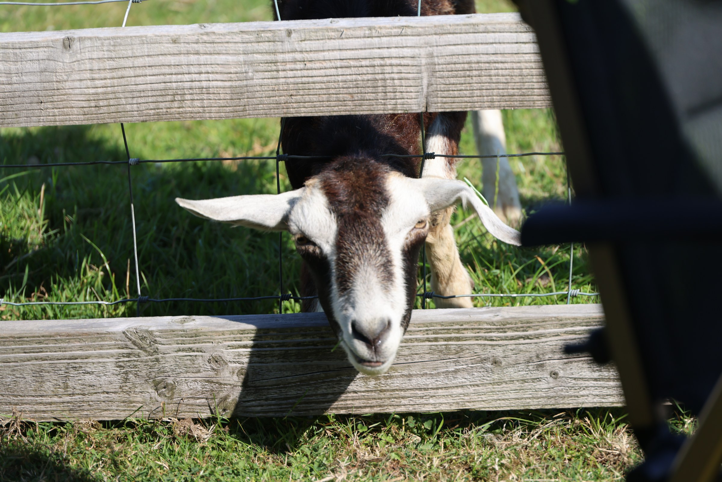
Just to prove that everyone is friendly, we had a few more chats with our Irish neighbours. They were only stopping over for the night, but we got lots of suggested places to visit and even got onto the subject of their sister moving to Argentina for the next four years, following her diplomat boyfriend. They’d already done a year in Madrid and a year in London.
Once all the washing was done, we rearranged the van by taking everything out and putting it all back, mostly where it was before. We’ve certainly used more of the available space and, hopefully, used it more sensibly too.
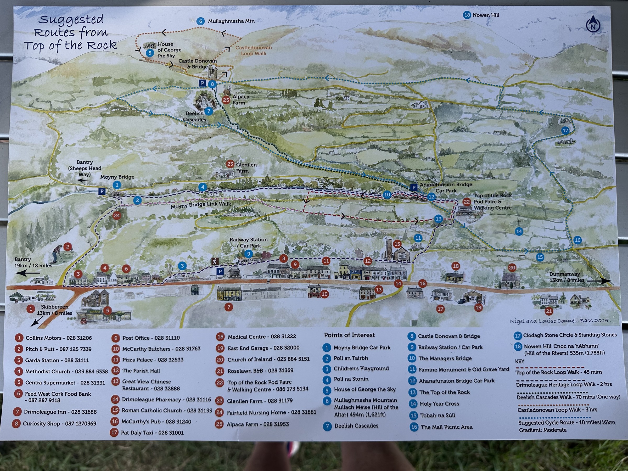
So, after lunch, we decided to do the Drimoleague Heritage Loop Walk.
David had given us this A3 walking map of the area. We decided we had about two hours, which meant doing the Heritage Walk—it turned out to be stunning.
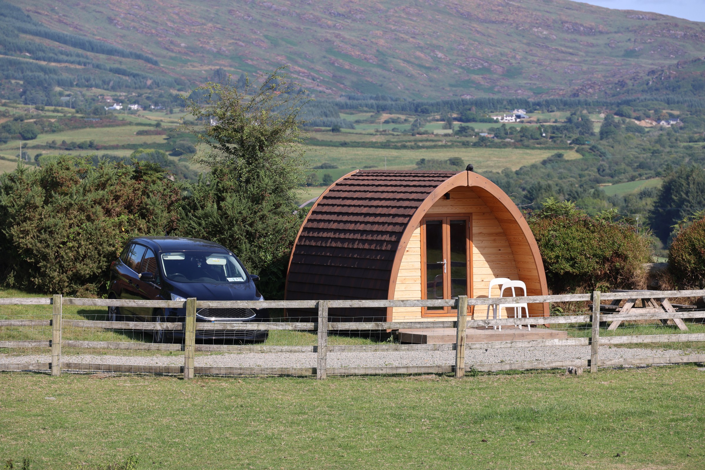
The campsite was much quieter as we left.
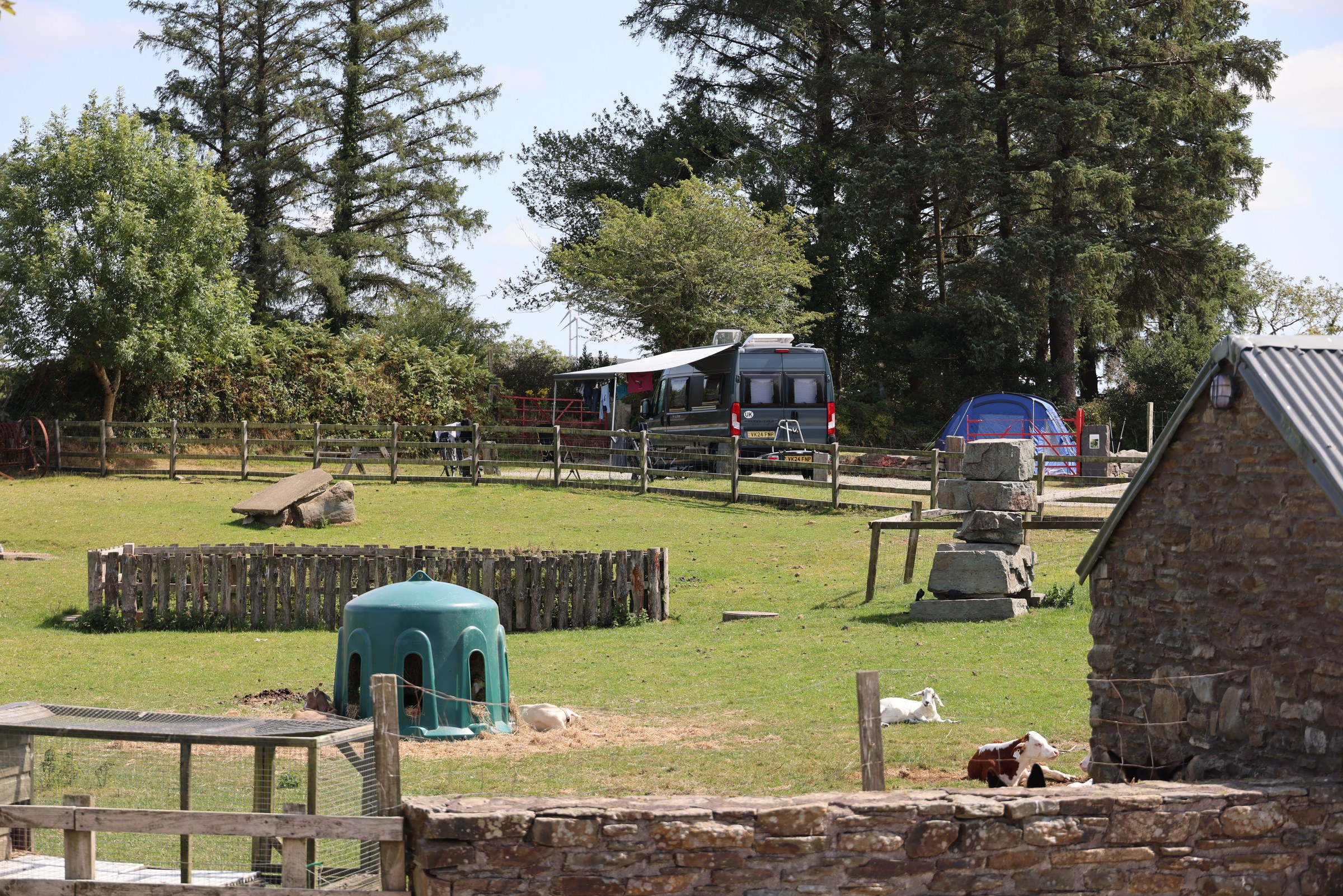
And we got a view back to the van with our clothes drying around the van.
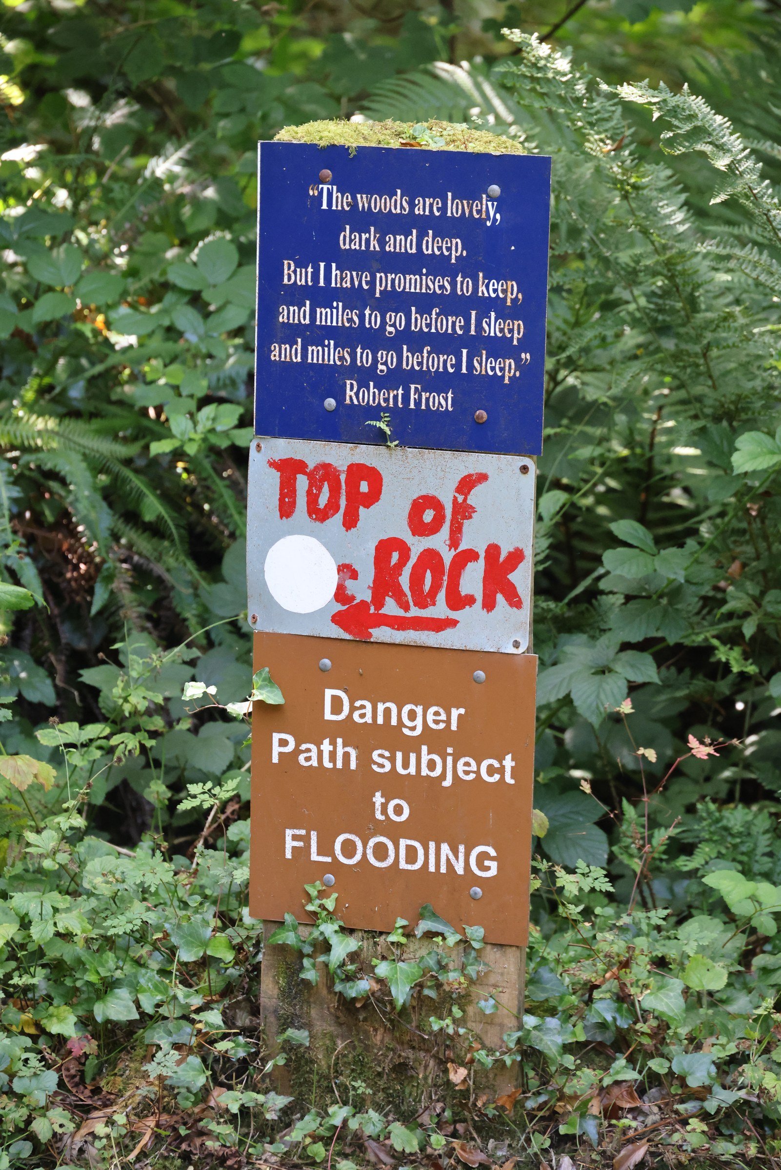
The walk wanders down from the campsite, alongside hedgerows and along some purpose-built tracks. There were coloured benches every hundred metres or so, and at every junction there were coloured posts and arrows showing you where to go. It still helped to have a copy of the map with us, though.
We reached the River Ilen about 15 minutes into the walk and turned onto the riverside path.
This was one of the most wonderful, idyllic riverside walks I think we’ve ever done… drop-dead fantastic. Just meandering through the leafy glades with the river slowly babbling beside us. It was very, very peaceful.
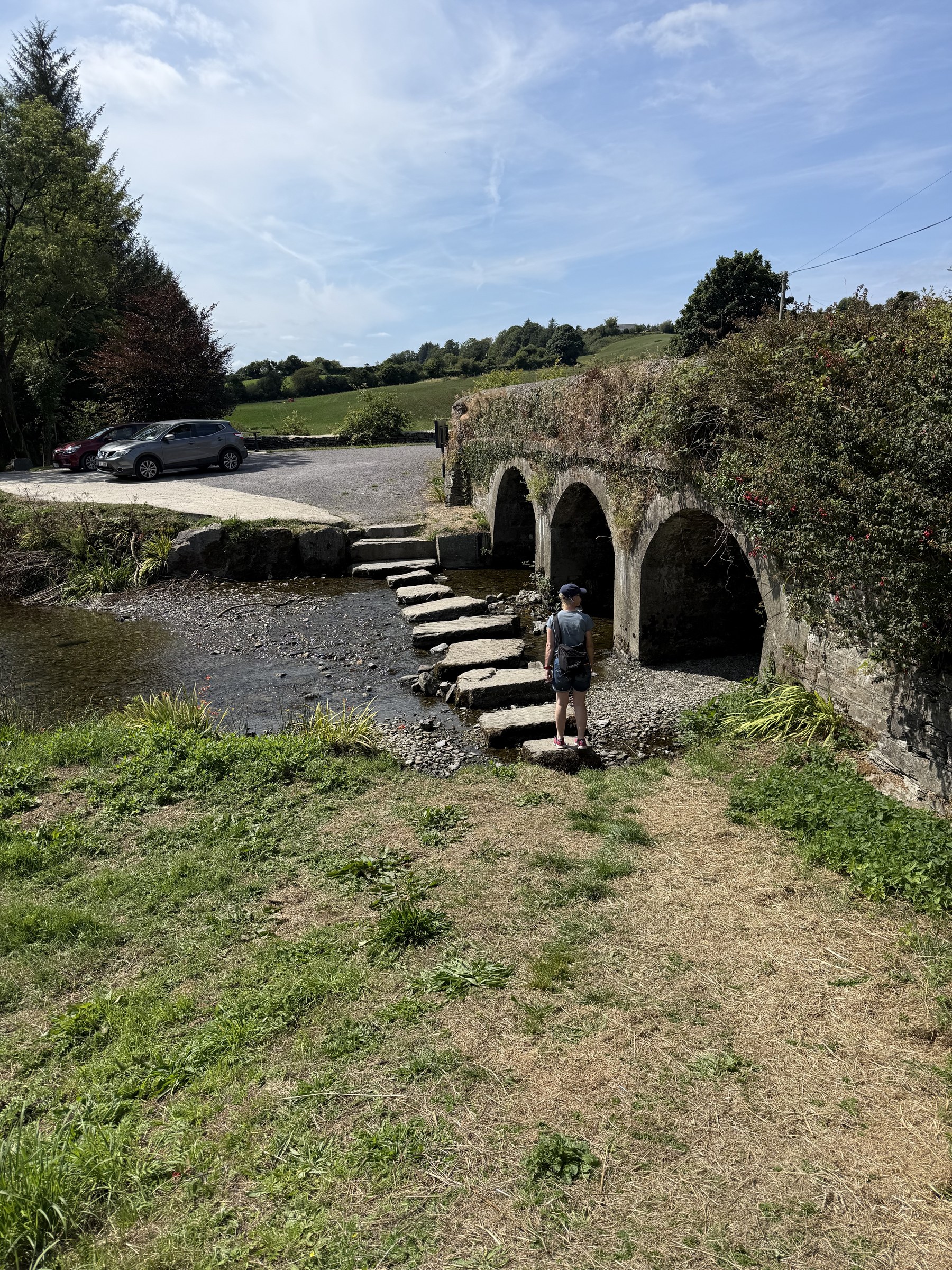
We joined the riverside section by a road bridge and some stepping stones.
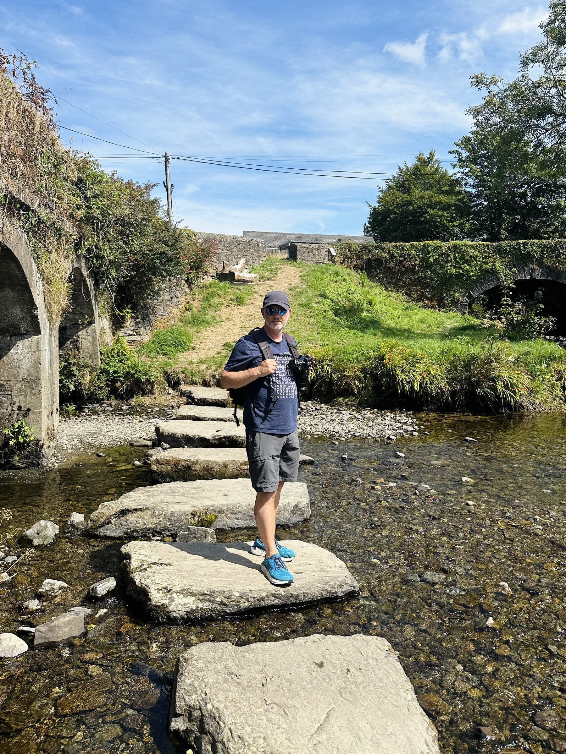
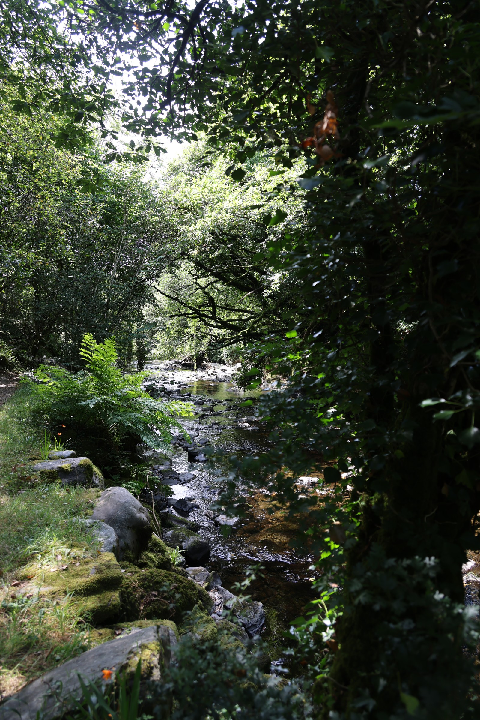
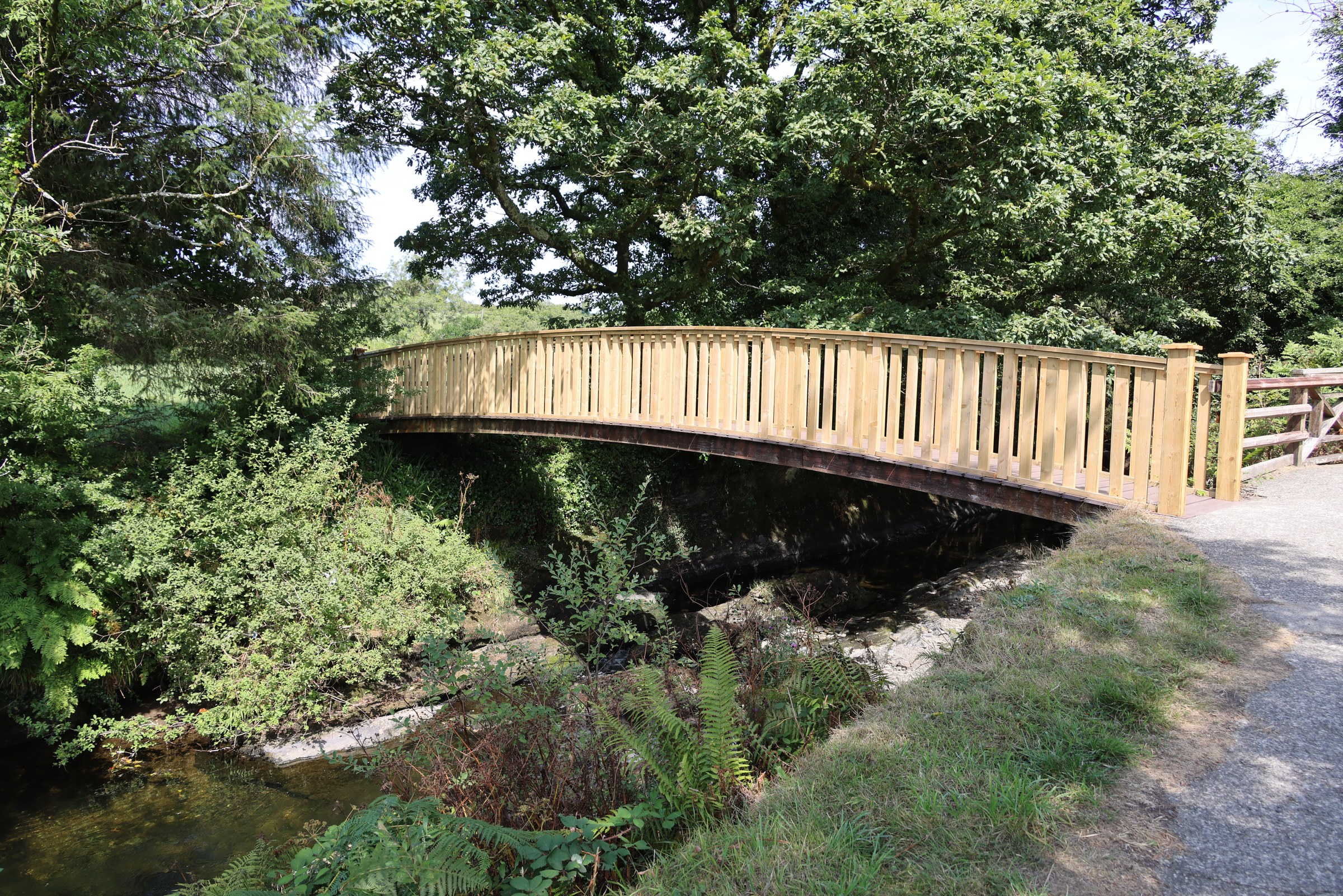
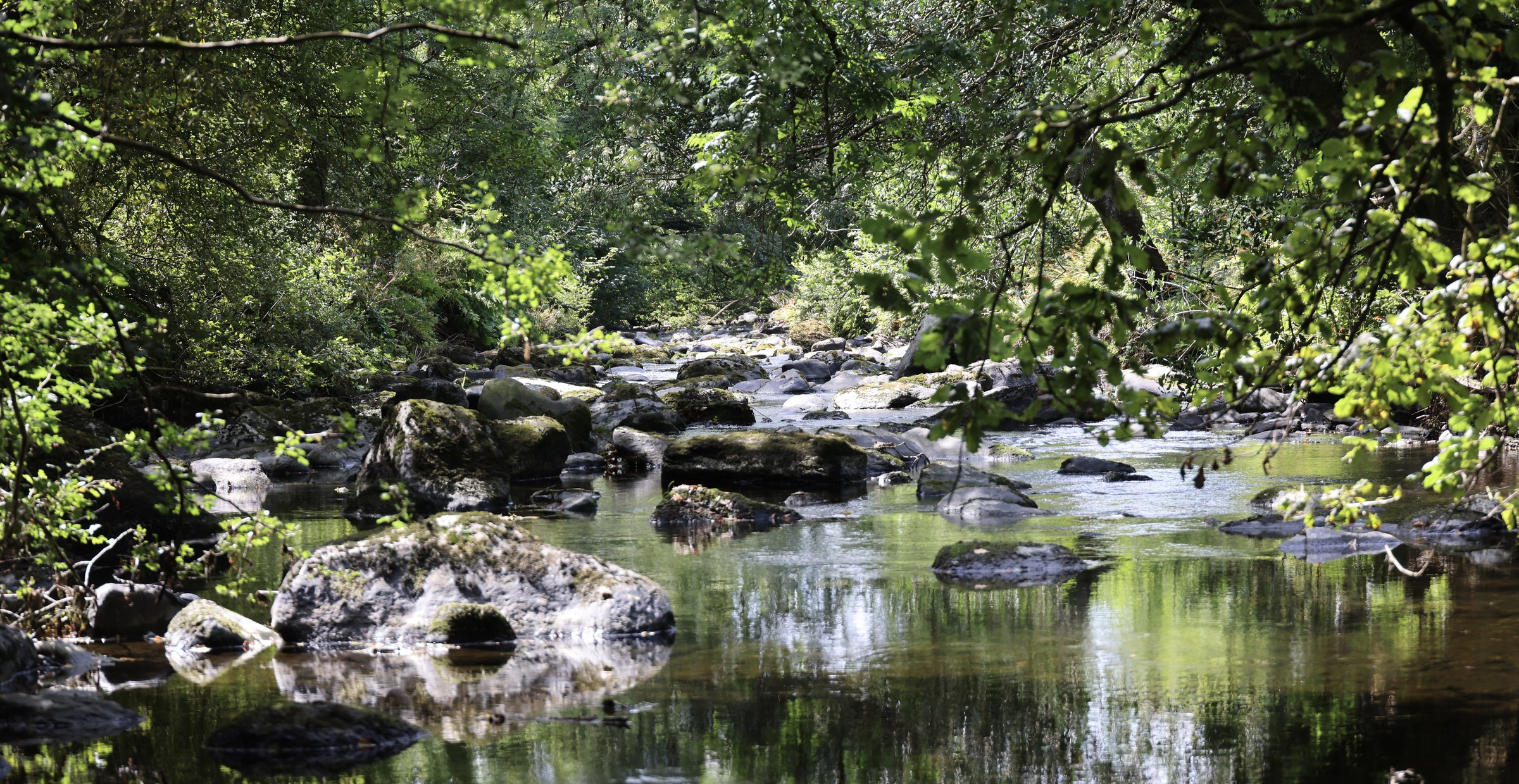
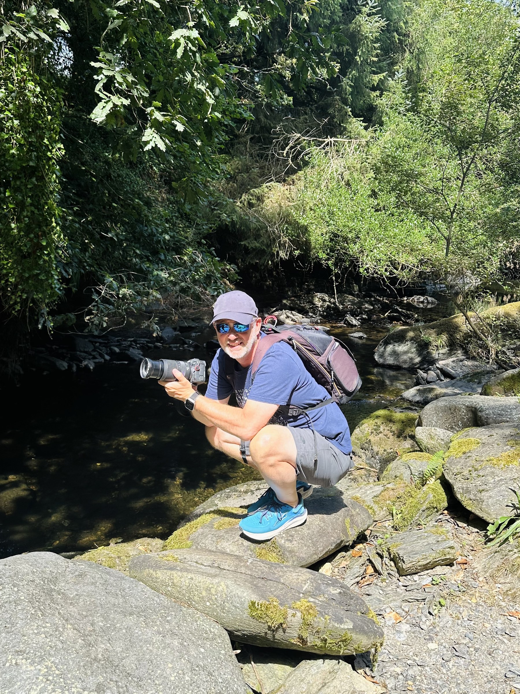
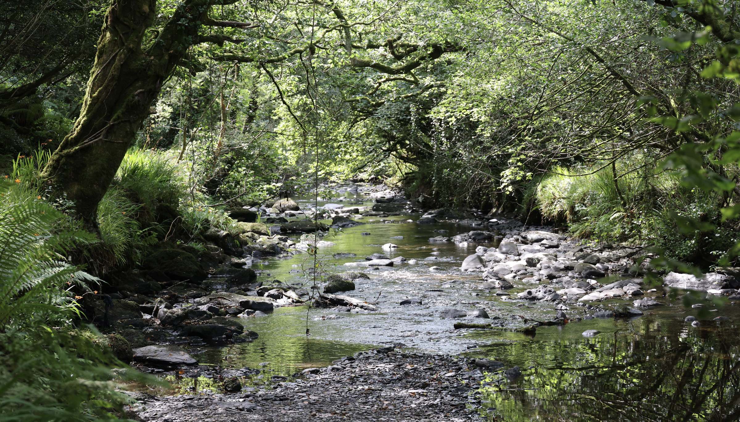
After about three or four kilometres of the tranquil river walk, we decided to head into Drimoleague rather than retrace our steps. The Heritage Walk did suggest Drimoleague, but to be honest, we’d probably have been better off going back the way we came.
The walk to Drimoleague was like pretty much any roadside walk we’ve done in dozens of other places. Nice fields and the roads were quiet, but not a patch on the Ilen.
We did have to navigate a set of new modular rooms being craned into place at a residential home, and the occasional driver waved at us as they sailed by.
In Drimoleague, we ventured into the Centra supermarket. I had a Magnum (they’re reassuringly an eight out of ten on the ice-cream-o-meter), but Sue had a pretty poor hot chocolate. We used the loos (5/10) and got some cash from the ATM.
Drimoleague seems a bit like a lot of the towns we’ve passed through. And I hope I’m not doing it any disservice, because it just is what it is. But there’s a sharp contrast in prosperity to be seen in these towns, often within just a few metres. There are derelict buildings on the high street that clearly haven’t been occupied in decades. Then, just off the main road, you see highly manicured lawns in front of immaculate, brand-new bungalows with huge double garages and massive, double-glazed conservatory windows overlooking one view or another. The contrast is quite stark. There are clearly people living not far from the derelict end of town, with relative opulence just a stone’s throw away. We’re only on day seven, so what do I know about the socioeconomic structures of Ireland? Perhaps more on this as we progress on our way.
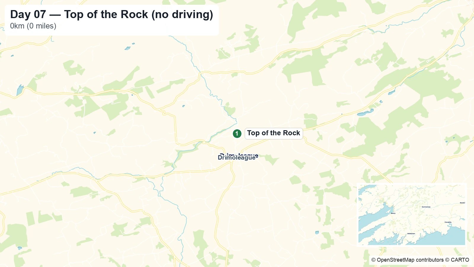
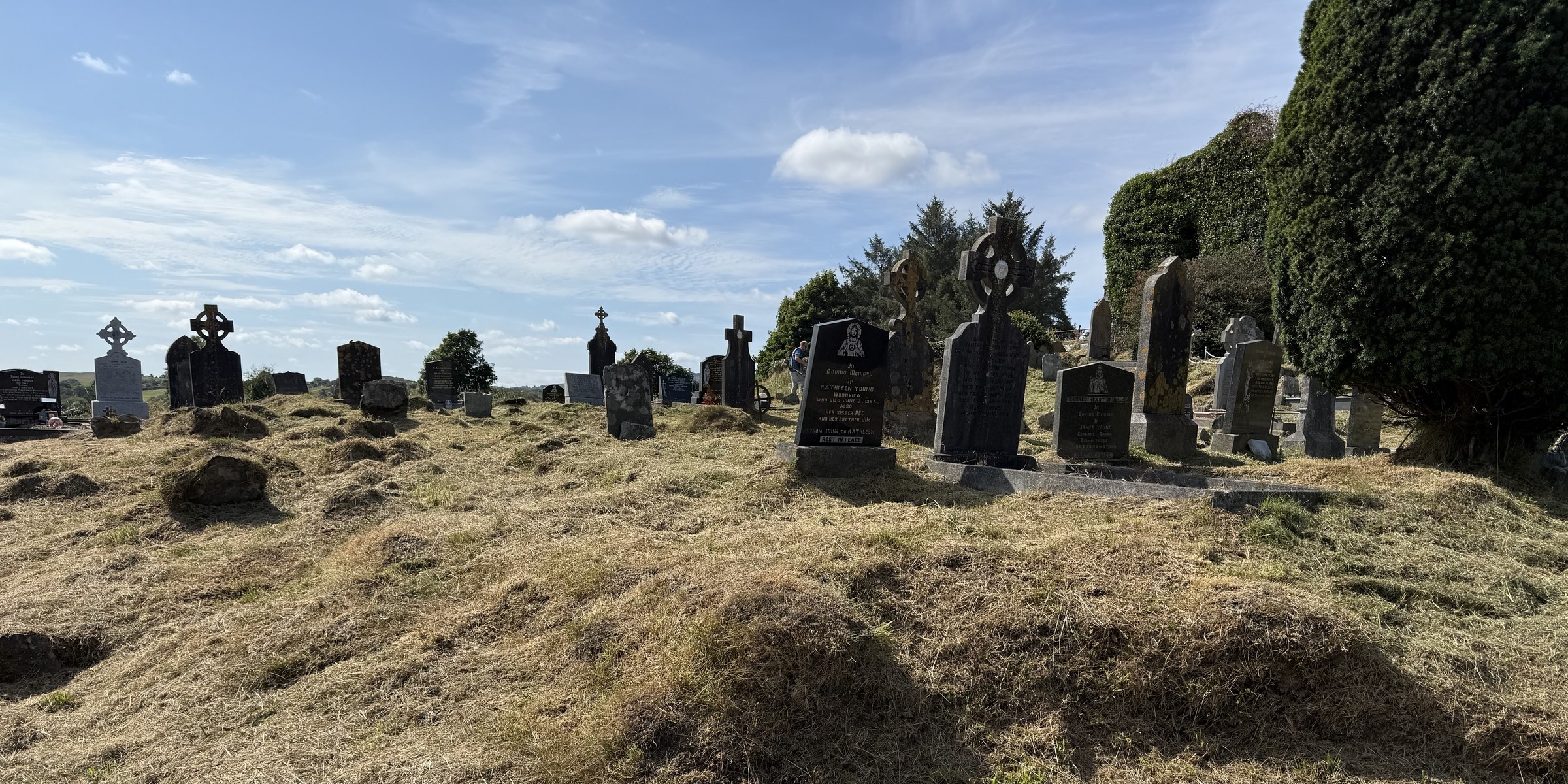
As we turned up towards the Top of the Rock campsite (large campervans are warned to take the longer route around the very steep road), we passed a church and then a ruined church and graveyard—ruined church number six on our trip. The graveyard includes a memorial to those buried there during the Great Famine. In the Drimoleague area, around 2,500 people died, emigrated or migrated—42% of the local population—wrecking whole families and communities.
The information board at the entrance to the graveyard notes that “The Rock” was an informal religious gathering place towards the end of the Famine. So we guessed that was where our campsite got its name.
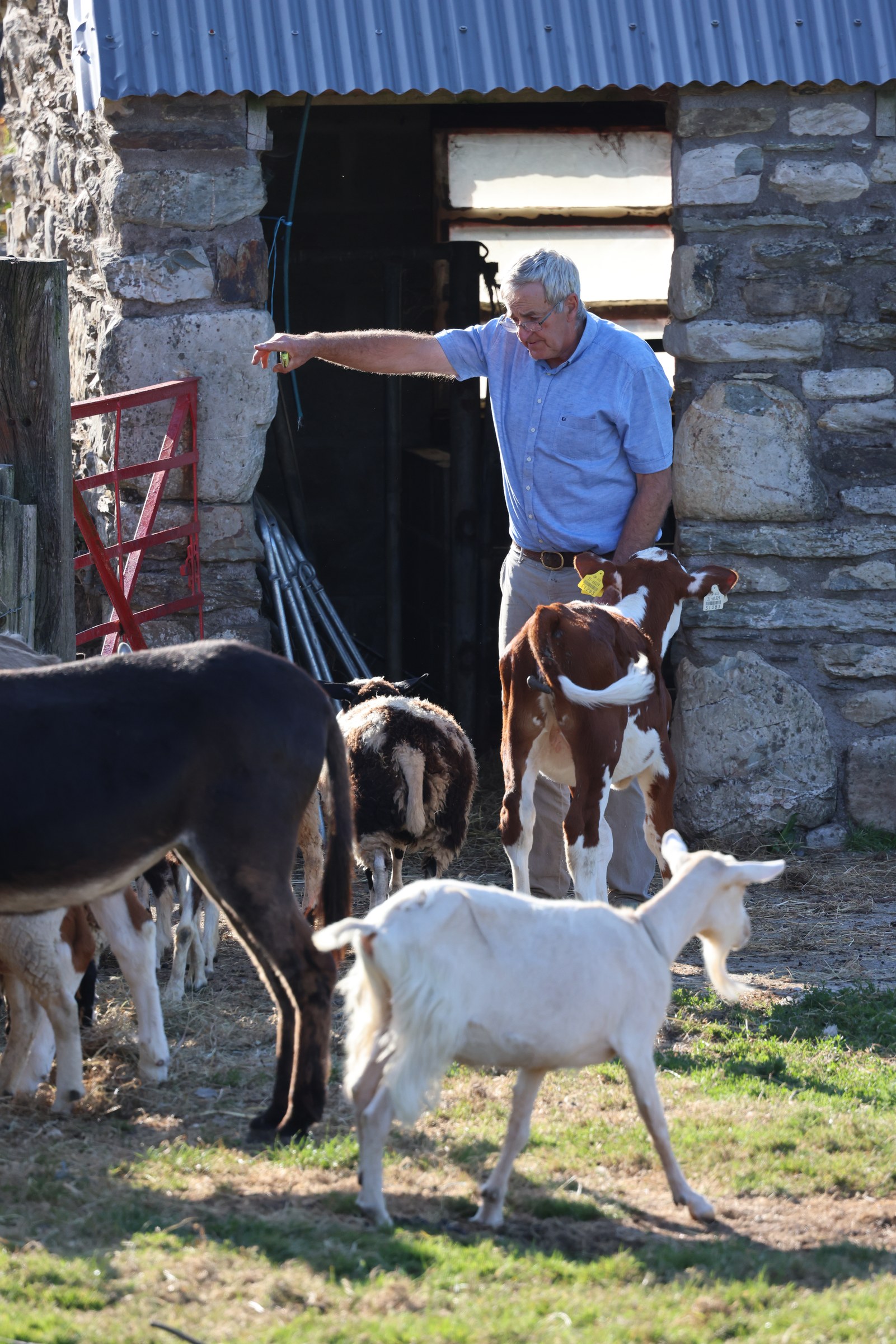
And then back to the here and now, and David running the 6:30 p.m. animal feeding.
Tomorrow, we’re going to take our bikes on the ferry over to Sherkin Island. Today has been gloriously sunny all day, so we’re taking our swimmies as well. But the weather forecast isn’t looking so good for the next while, so we’ll have to see how we get on.
We’re hoping to be at Mizen Head on Wednesday evening, one of the most southwesterly points on mainland Ireland. That’ll be awesome if we can pull it off (it might be busy), ‘cos there’s a deep partial eclipse starting shortly after 18:00 and peaking at about 19:10. Let’s hope the parking spots and the skies are clear.
J

Leave a Comment